An Interesting Mix In Year Six

Wow! Can we really be coming to the end of our sixth year on the road? We don’t feel we’ve even scratched the surface of things to do and see!

From May 2017-May 2018 we covered many miles as you can see in our route map below. We almost made a spoon shape route. We went from the Rockies to the Atlantic coast to the Great Lakes while juggling health and RV repair issues. Challenges… yes. Adventure galore! Drop dead gorgeous scenery… you bet! Good eats … mmmmm.

We are starting a new composite map for years 6-10 as continuing to layer our routes would make it unreadable. However just for fun we’ll post a composite so you can see what 180,000 miles looks like.

Join us for Year Seven as we explore summer in northern Minnesota, head back to Indiana for (we hope) our last major repairs and on to a glorious winter in Arizona. See you on the road!


Our 6th Year On The Road


Composite Of Our First Six Years

Where Next? #12

When we arrived at Cape Lookout National Seashore in early November 2017 we thought that staying in one place for almost 5 months sounded awfully long. It would be our longest stay to date. Yet here we are with only two weeks left. Time has flown and we’ll be on the road soon. Our feet are beginning to itch with the travel bug.

Our plans have changed several times but (We hope) this is our route from the seashore of eastern North Carolina to the shores of Lake Superior and our summer volunteer job at Grand Portage National Monument. We’ll travel for about 5.5 weeks seeing family and friends, adding 2 new states and seeing several National Park sites. Our arrival in Minnesota will be the second week in May.

Here’s the Google Map of our route.


On Our Way To Salmon, Idaho

No wonder it took so long to get this post written! We did a lot of sightseeing along the way. We had six weeks to reach Salmon, Idaho by May 12, 2017. So why did we head east instead of west?

 Stop #1: Nashville, TN. We are both self taught when it comes to Photoshop and have been wandering around the land of Youtube tutorials. Now it was time to take a course. We had given each other Jim Zuckerman’s Photoshop Workshop for Christmas. It would be a two day course held in his home in Nashville. We located a place to stay at Henry Horton State Park. A definite return to park for us. The course was excellent and we hope you will see improvement in our technique on the blog. Below is my first attempt at a composite photo where the eagle was taken from one photo, changed to B+W, resized and moved onto the winter treescape. We also learned how to take a previously edited photo and improve on it with blending modes.  Jim’s wife, Dina, dazzled us with 2 gourmet lunches and a dinner fit for royalty.

Chari Learning Photoshop

During our free time in the area we visited the Civil War site for the Battle of Stones River. Like at Gettysburg, this battle saw 1/3 of all troops killed during fighting (18,000 men). They have just added a RV site for volunteers too! We drove into Nashville to visit the Tennessee state capitol building. That makes number 5 so we have a ways to go to see all 50. The tour is free and very informative with a docent from the Tennessee State Museum. This is the only capitol building with human remains inside the walls as the architect died just before completion and is entombed there. It is the only capitol with the remains of a former president on the grounds, James K. Polk. In the picture of famous Tennesseans below how many can you name? Later we took in the Tennessee State Museum with three floors of exhibits. My favorite was the Les Paul “Old Hickory” guitar made from wood from a state record tulip poplar tree at the Hermitage which was brought down by a tornado in 1997. The finishing touch was dinner at a Nashville icon restaurant called the Loveless Cafe.

Steve has several relatives in the area and it was great to see all of them doing so well.

Andy Jackson Rides Again At The Tennessee Capitol


Famous Tennesseans


Main Floor Of The Capitol


Gibson “Old Hickory” Guitar

Eating At A Nashville Icon

Stop #2: Big South Fork National River and Recreation Area

Big South Fork Panorama

This large National Park Service site sprawls across the Cumberland Plateau in southeastern Kentucky and northeastern Tennessee. We stayed at the Blue Heron CG on the Kentucky side. As we drove in, the GPS wasn’t clear where we needed to turn and given a 50/50 chance we chose the wrong way. When you are towing a 40′ trailer you can’t just hang a U-turn. We had to go a ways down the road before finding a gravel parking lot to turn around. Steve did his usual great job. No problem. There was plenty of room. (Read that as he had 6″ before hitting anything.) I tried to sit there looking composed while my toes were curling in my shoes.
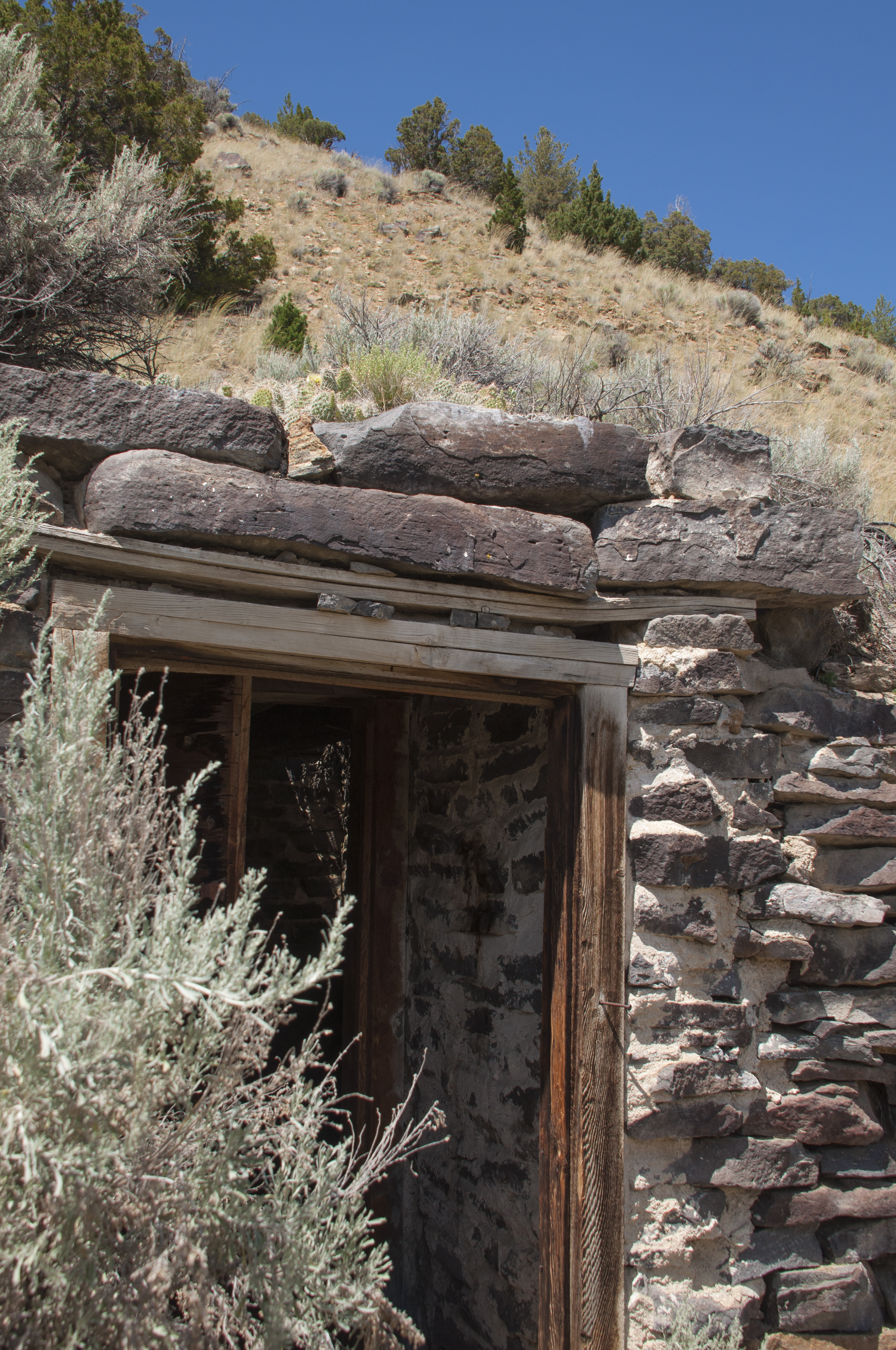
Appalachian Miners

Life In Appalachia


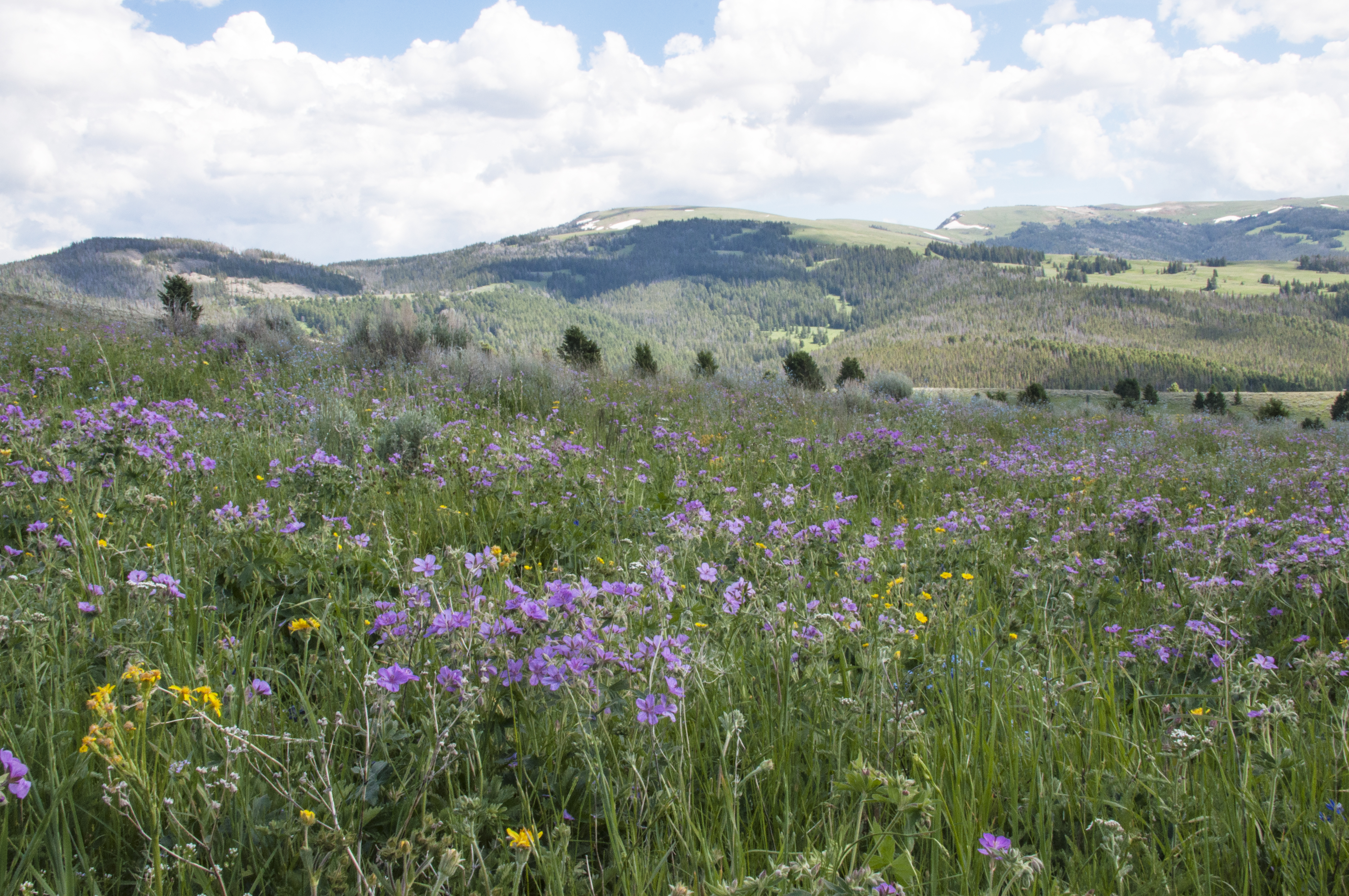
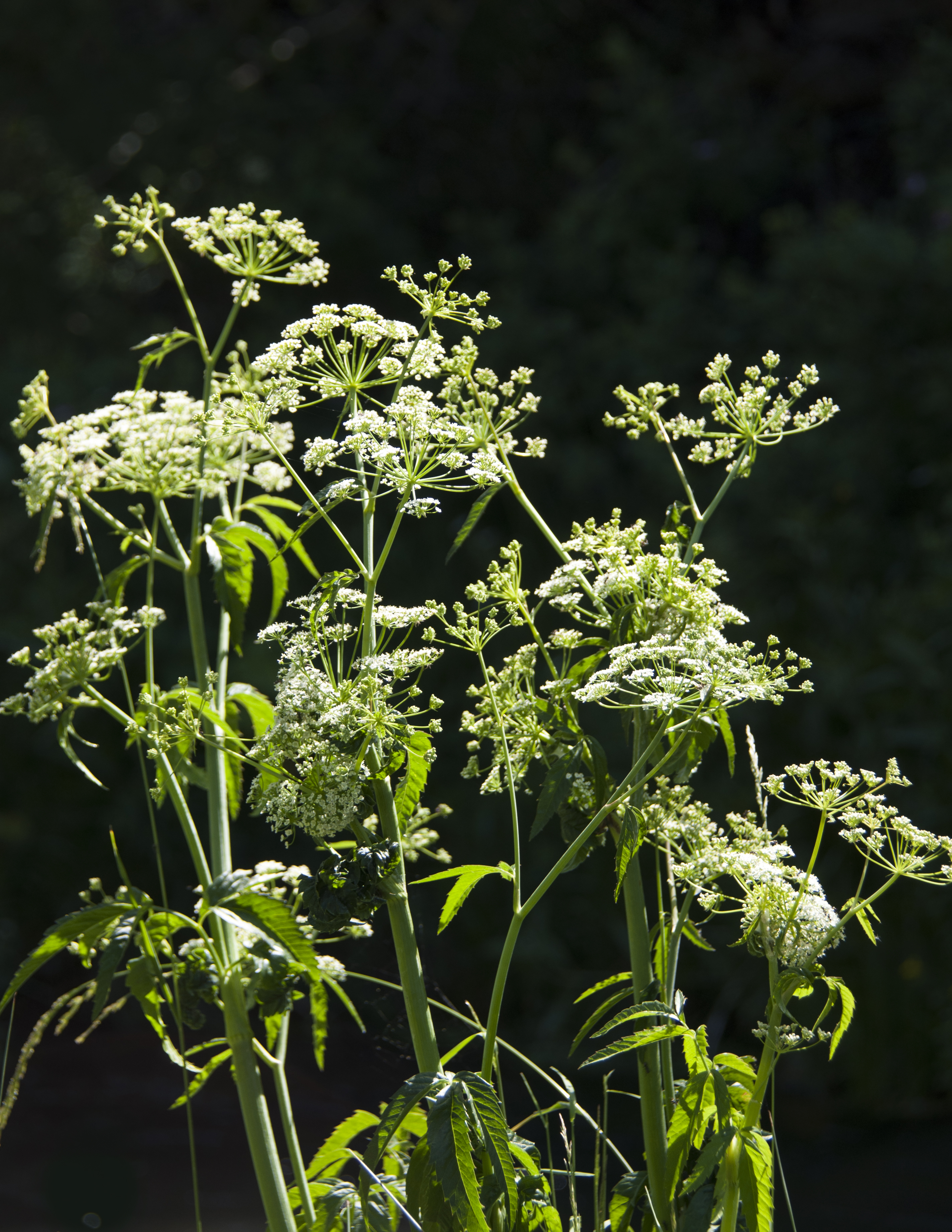
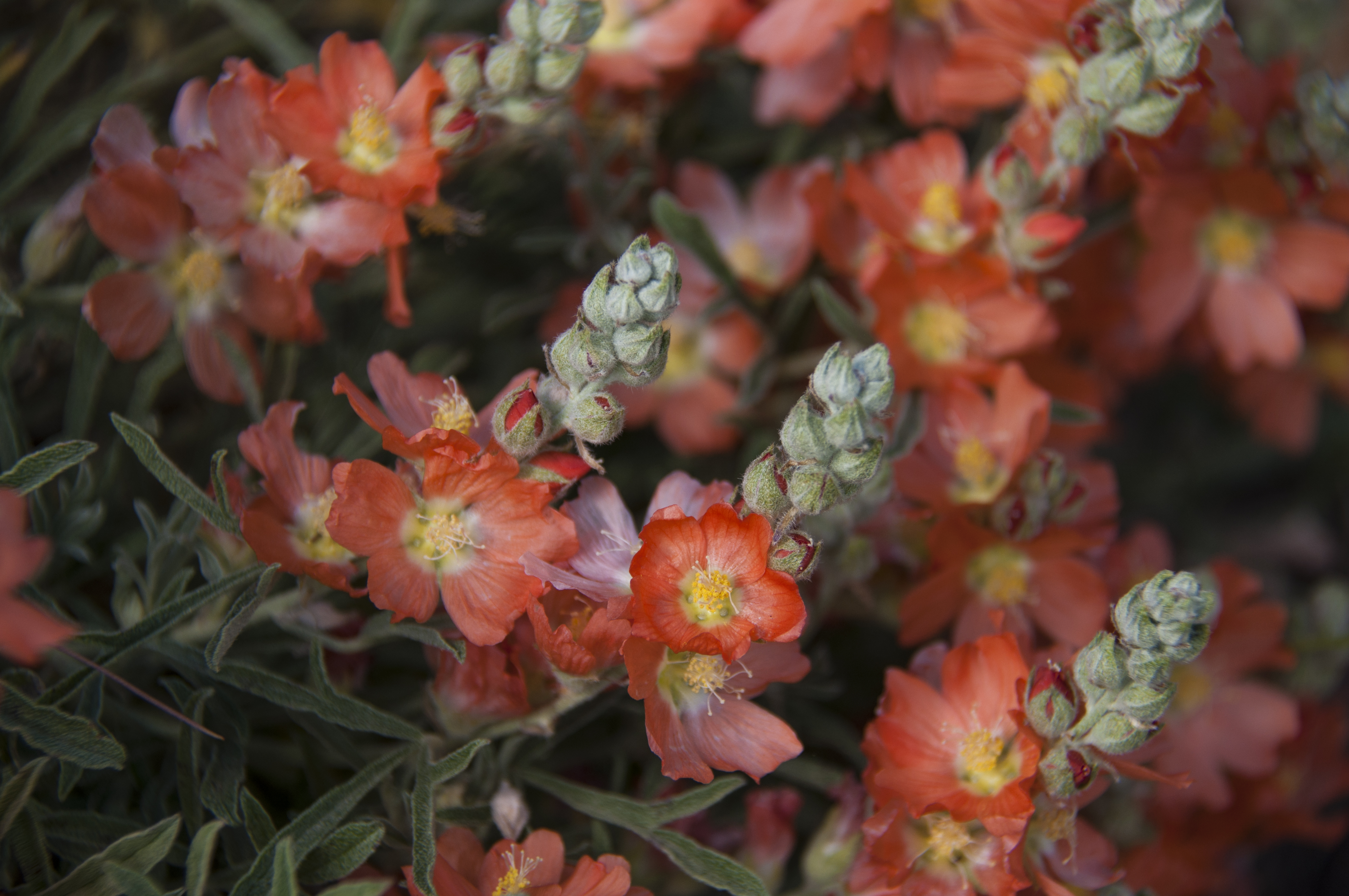
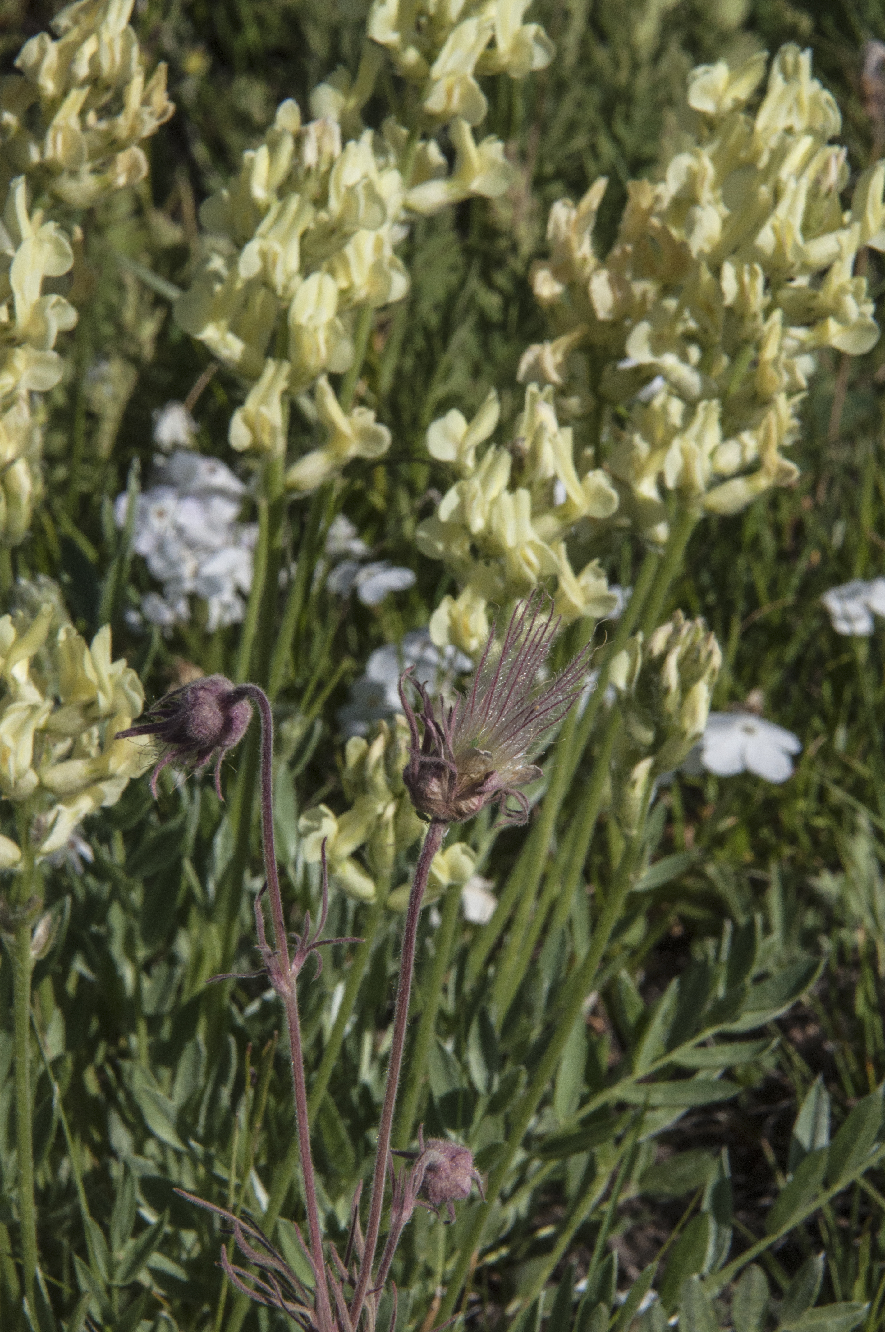
The area is named for the South Fork of the Cumberland River and begins just below Lake Cumberland. The views of the valley are stunning.There are 500 miles of hiking trails as well as scenic drives and both whitewater and calm water river paddling. Add to that two Visitor Centers, a mining museum and a scenic railroad and you have everything you need for a great nature based vacation. Did I mention the wildflowers were starting to bloom. We hiked to a waterfall and walked behind it. A few more weeks and it will be peak for them. We’d love to come back sometime for in the autumn for some spectacular foliage.

Spring Wildflowers

Butterfly Colony

A Strange Rock Formation


Many Steps Down To See The Waterfall

Trillium

Waterfall at Big South Fork

Stop #3: Vincennes, Indiana

Located an hour south of Terre Haute on Indiana’s western border along the Ouabache (aka Wabash) River lies the historic town of Vincennes. Founded by the French this was a hub of the fur trading era. Following the French and Indian War it became a British fort. During the American Revolution George Rogers Clark with a much smaller force overtook Fort Sackville thus making the Northwest Territory American land. Their story is one of daring and sacrifice. Had they not claimed this victory, England might still have claimed this area and the USA may not have expanded beyond the original thirteen colonies. George Rogers Clark has been eclipsed in history by his younger brother William of Lewis and Clark fame. He never received in life the money owed to him for mounting this campaign or the recognition he deserved. Today the George Rogers Clark National Historic site honors him and keeps his story alive. Be sure to read From Sea To Shining Sea that covers the lives of both Clark brothers.

George Rogers Clark, Vincennes, American Revolution

George Rogers Clark Statue at NHS

Right next door was Grouseland.  This was the home of William Henry Harrison when he was governor of Indiana Territory from 1800-1812. Vincennes was the territorial capitol. Harrison ran for President in 1840 on the slogan of “Tippecanoe and Tyler too”. The home is now owned by the DAR and our guide was very knowledgeable. Unfortunately no photos are allowed inside. We learned that his presidential campaign was the first “modern” campaign with music, slogans and gifts for donors. Too bad he died after only a short time in office. This made his vice president, Tyler the first VP to become President by succession. Later, his grandson, Benjamin Harrison would also sit in the Oval Office.

Vincennes other favorite son, comedian Red Skelton, has a museum adjacent to the Red Skelton Performing Arts Center on the campus of Vincennes University. I know I am dating myself when I say I remember sitting with my parents in our living room watching the one TV we had and laughing together over the characters Red Skelton played. Clem Kadiddlehopper was my favorite.I know some of you out there remember this too. Who was your favorite character?

Red Skelton’s Characters

We stayed at a beautifully maintained county park called Ouabache Trails. It is tucked away and we weren’t sure if our GPS (nicknamed Josie Fiend) was leading us into small roads where we couldn’t turn around. Then we saw signs for the park. Whew!

We made a quick run up to Terre Haute to see Chari’s cousin and her husband. Unfortunately he is suffering from Parkinson’s and recovering from a mild stroke. They are handling the challenges of “in sickness and in health” together. Hopefully as we write this he is back home.

Red Skelton Was Also An Artist

Stop #4: North Central Missouri

A six hour drive from Indiana brought us to the USACE Ray Behrens CG at Mark Twain Lake. We are about two hours west of St. Louis near the small town of Florida, Missouri where Samuel Clemens (aka Mark Twain) was born in 1835. On arrival we learned the site we’d reserved was an electric only site. We’d need to be on tank water. This seems to be a common set up in Missouri at both federal and state parks. As luck would have it there was a cancellation for a full hookup site. With our senior pass it cost us only $12/night. Hooray!

Twain Birthplace State Park

A state park preserving Mark Twain’s birthplace home offers a very well done museum of his first years as well as some artifacts from his adult life. It was interesting to find out that U. S. Grant’s first army post was in Florida. Later in life both of these men would use their literary skills to earn money to overcome financial ruin, both would write their memoirs and Twain would publish Grant’s autobiography. Steve had a book signed by Mark Twain that he donated to the Birthplace Museum before we left. About twenty miles away is the town of Hannibal where Samuel Clemens grew up and where people he knew would become characters we love such as Huck Finn, Becky Thatcher and Jim. We toured his boyhood home and a museum about his life. In town is another museum dedicated to his literary works and the original Norman Rockwell illustrations for an edition of Tom Sawyer. We bought a CD called Mark Twain in Words and Music that was created to raise funds for establishing this museum. It features celebrities like Clint Eastwood, Emmylou Harris, Jimmy Buffet and many others. We’ll be listening to it right after this entry is written. We say this is a do not miss museum.

Inside Twin’s Birthplace

Twain’s Boyhood Home In Hannibal, MO


She Was The Inspiration For Becky Thacther

The Mississippi River and Hannibal Are One

One place we had planned to visit was Warm Springs Ranch near Boonville, MO and home to the Budweiser Clydesdales. The ranch opened in 2008 as a breeding, recovery and retirement ranch for the horses. They started giving tours in 2009. The tours are very popular so if you have specific dates for a visit get your tickets online at least two months in advance. There is no access to the ranch other than via tour. The gates are locked until a half hour before the tour. When the horses see the cars driving in they know it is showtime and come running over to the fence to be petted. April is a great time to come as it is in the middle of foaling season. We were lucky enough to see several young Clydesdales, from one month to four months. Gestation is slightly over eleven months. At birth the foal is three and a half feet tall and weighs 125 pounds. There’s a lot of growing to do before they reach the average adult size of 2000 pounds. The tour begins at the breeding area, then on to the foaling stalls, the exercise area, the transportation trucks and finally more photo ops. All that touring can make you thirsty so yes there is free beer at the end. The horses are selected for temperment, white blaze on the face, black mane and tail, four white feet and standing six feet at the withers (shoulder). Horses that don’t meet this criteria are sold to other breeders. There are three hitches (teams) to handle all of the appearances. They are in Colorado, Missouri and New Hampshire. Each team on the road consists of ten horses, eight primary and two alternates. There are four positions a horse can be trained for; wheel (strongest), body (constant pulling), steering (holds position in turns) and lead (first to receive driver’s commands). Horses train for two years before joining a hitch. The driver’s train for six months and have to be able to handle a sustained pull of 75 pounds on their hands. The video below runs about two minutes and shows you our tour which while cool and cloudy was very enjoyable.

On the way home from Warm Springs Ranch we spotted a sign for the National Churchill Museum. Neither of us had ever heard of it. We had no plans for the next day so back south we went to Westminster, Missouri. The town is home to Westminster College and from the looks of the campus, not an inexpensive one. We were there on a Sunday and found street parking easily. That may not be the case when school is in session. The museum is housed on the ground floor of the college chapel. It was here in 1946 that Winston Churchill gave a speech and coined the phase “Iron Curtain” to describe Soviet domination of eastern Europe. For those of us who grew up in the 1950s and 60s, this phrase became a household word. The museum details Churchill’s life and well worth a visit. That’s not all! The real hidden gem was the chapel itself. Originally built in the mid 15th century it was severely damaged by the Great London fire of 1646. Architect Christopher Wren designed and rebuilt much of London following the fire including this church. Design elements such as using clear glass vs stained glass were his trademark. The church stood until destroyed by the Blitz in 1942. It lay in ruins for 20 years and was almost hauled to the scrap pile. Westminster College needed a chapel and bought the ruins. Block by block it was shipped to the USA. Skilled stone masons reassembled the ruins and restored missing sections. The only structural change was steel reinforcement for tornados. Not only do you get to visit a wonderful museum but visit a Christopher Wren church without flying to England. Put this on your “must see” list as well.

Churchill Museum Exterior

Churchill Statue


Church of St. Mary The Virgin, Aldermanbury Looking Toward The Pulpit

Wren Church Looking Toward The Organ

Our last stop was to drive to St. Charles, MO and have lunch with Lois and Steve, fellow volunteers at Hot Springs NP, who live nearby. Since we were so close to St. Louis we stopped at the Ulysses S. Grant Farm NHS. We’ve all read about Grant the Civil War general and Grant the President but here we learned of his later life and civil rights activism. We’d hoped to see the Jefferson Expansion Memorial too but the renovation and reopening of the arch was not complete. Perhaps it will be by this Fall.

Grant’s Farm

Stop #5: Iowa City, Iowa

We are still working on the long term goal of seeing every national park site. This brings us to Iowa City, the home of President Herbert Hoover and the Hoover Birthplace NHS. Before we tell you about our travels we want to warn anyone traveling in a big RV (over 30′) not to use Lake McBride State Park. The fact that they offer full hookup sites and the pad sizes are adequate would make you think it is suitable. There is nothing on Reserve America warning you of problems. We arrived and as we entered our camping loop we see a sign stating Limited Turn Around Ahead. We are able to get into the site as it is angled the right direction. Getting out, that’s another story! We couldn’t make the tight turn around and so had to go back and forth a dozen or more times to get headed the right way. We used the vacant site across from us. Had it been occupied we would have had to back down the road to where we could turn. Our experience with this and one other Iowa State Park says no more. They have not been upgraded for big rigs. OK, rant over.

Right next to the Hoover Birthplace is the Herbert Hoover Presidential Library and Museum. This is not part of the NHS but well worth the time to visit. We didn’t know that much about Hoover or his accomplishments. He is forever linked to being in office in October 1929 when the stock market crashed signaling the beginning of the Great Depression. He was a very bright and capable mining engineer and diplomat. We learned a lot and felt we had much better insight into the man and his time. By the time we left the museum to visit the Birthplace it was raining hard. Our visit was short.

Hoover As mining Engineer In China

Hoover Was The First President To Give A Speech On Radio

Hoover Served As Secretary of Commerce


Known For His Fight Against Hunger In Europe


Just north of Iowa City are the Amana Colonies, several small communities founded by German immigrants as communal neighborhoods in the 1880s. There’s Amana, Middle Amana, North Amana etc. Now days they are regular towns with strong German ties and great food. Tourism is their main business and homes have been converted to shops. We certainly did our share of eating and buying wurst and pickled vegetables! The highlight for me was climbing up on the largest walnut rocker in Iowa for a photo op. Oh honey, I shrank myself!

This One’s Too Big

The other highlight in the area was eating at the Hamburg Inn #2 and trying their famous pie shake. Yup, a whole piece of pie, ice cream and milk whipped together. Steve had raspberry while I tried the chocolate bourbon pecan variety. They even have pie shake happy hour in the afternoons where you can get them at half off! Just found a website that lists the best dessert in every state. Sounds like a new goal for us is to eat one in every state!

Pie Shake At Hamburg Inn 2

Stop #6: Omaha, Nebraska

We moved on to Two Rivers State Recreation Area about 20 miles west of Omaha where we had a lovely pull through site. We came here to visit friends and fellow volunteers from Laguna Atascosa NWR, Janis and Lee. We had a great visit and got to talking so much we forgot to take a picture!

We had heard of a great museum about the Lewis and Clark Expedition during their time on the Missouri in Nebraska City. It was a bit more than an hour south but well worth the time. If you are a following the Lewis and Clark Trail or just passing through be sure to stop. It emphasizes the scientific aspects of the journey. My favorite exhibit was the keelboat with an interactive screen giving you an idea of how hard they had to work to head upstream on the river. I crashed on some rocks! So did I! My favorite exhibit was the one talking about how the native Americans caught fish. Originally this museum was built in partnership with the National Park Service but now is privately owned.

Fullsize Keelboat Replica

Chari Pacing Distance On The L&C Trail Map


Taking Notes For Our Summer Job


We took a day to visit the Henry Dorey Zoo. Lots of photo ops and great areas for the animals. We also watched two Imax movies and took the aerial skyway above the zoo. Lee drives the tram at the zoo but he was off today.

Aerial Ride

Rhino From Above

Henry Doorly Aquarium

Butterfly House

Dwarf Mongoose

Giant Plated Lizard

Jellyfish Glow

Kookabura

Penguin Curtain Call

Tarantula

Leopard

Winking Owl


Stop #7: Grand Island and North Loup, Nebraska

We didn’t move too far only about 3 hours down I 80.  We came here for two reasons: first we have friends  Gayle and Bob, from North Carolina who are visiting family in the area. Nothing like a reunion with good friends when you are on the road. Secondly my cousins from Milwaukee, WI and another from NYC are coming out. None of us have ever been to the Manchester family home town of North Loup. Our first choice of places stay, Sherman Reservoir SRA, did not work out. The back in to the site dropped almost 3′ off the road. I could envision us cracking a storage tank or ripping off something. We moved on to Windmill State Recreation Area on the Platte River. The park has lovely pull -through sites. Parks along this area are in great demand during the sandhill crane migration. If I can get myself in the mood to handle the cold, I’d love to see it.

The DreamChaser 2 At Windmill SRA

We visited the Hastings Museum in Hastings, NE. This town’s claim to fame is being the home of Kool-Aid. Once again we find things from our past in a museum! Kool-Aid was first made here and marketed as Kool-Ade in 1927. By 1929 it was being sold nationwide. Then came the Great Depression. Realizing the country would be in recovery for years the price was lowered to 5 cents and remained so for 20 years. In 1934 the FDA ruled that only drinks containing fruit juice could use Ade in their name and others had to use Aid.. So Kool-Ade became Kool-Aid. We also attended a planetarium show here and viewed other exhibits. Dinner that night was at a great Italian restaurant in Grand Island.

Birthplace of Kool-Aid


Kool-Aid Ad


Walkway To Hastings Museum

We met up with Chari’s cousins and drove out to North Loup. It is a small farming community with about 300 people. Popcorn is the local cash crop and the Popcorn Days Festival in August is still a major event. My grandfather was one of the founders of the festival. The family farm house no longer stands but we found where it used to be. We also located family graves in the cemetery and saw the church where my grandparents were married. Naturally, I had to buy some North Loup popocorn to take with us. For the last day in the area we visited the Stuhr Museum in Grand Island which has an extensive collection of pioneer and early settler housing from the area. On weekends they have living history volunteers in the homes to tell you about the occupants or demonstrate skills. We’d worked up a thirst and headed off to a microbrewery. They even gave us a behind the scenes tour. My cousin Kathy and her daughter Emily have done a lot of genealogical research. It is good to have a sense of where you came from and fun to see resemblances from generation to generation.

Welcome To North Loup

Church Where My Grandparents Were Married


Chari’s Grandparents

Chari’s Great Grandparents


Chari’s Great Grandfather

The Stuhr Museum

The Manchester Cousins In Nebraska

Stops 8 and 9: Quick Overnights in Nebraska and Wyoming

Our time was getting short so we put the pedal down and covered a lot of miles on Interstate 80 with overnights at the original Cabela’s store in Sidney, NE. They have a very moderately priced campground with full services and laundry. We needed both. We also bought a new tent and managed to spend all of our Cabela’s points. We look forward to using the tent at USFS and BLM campgrounds this summer.

Our overnight in Green River, WY brought us close to where we worked last summer at Flaming Gorge, UT. We had an uneventful night at the Walmart.

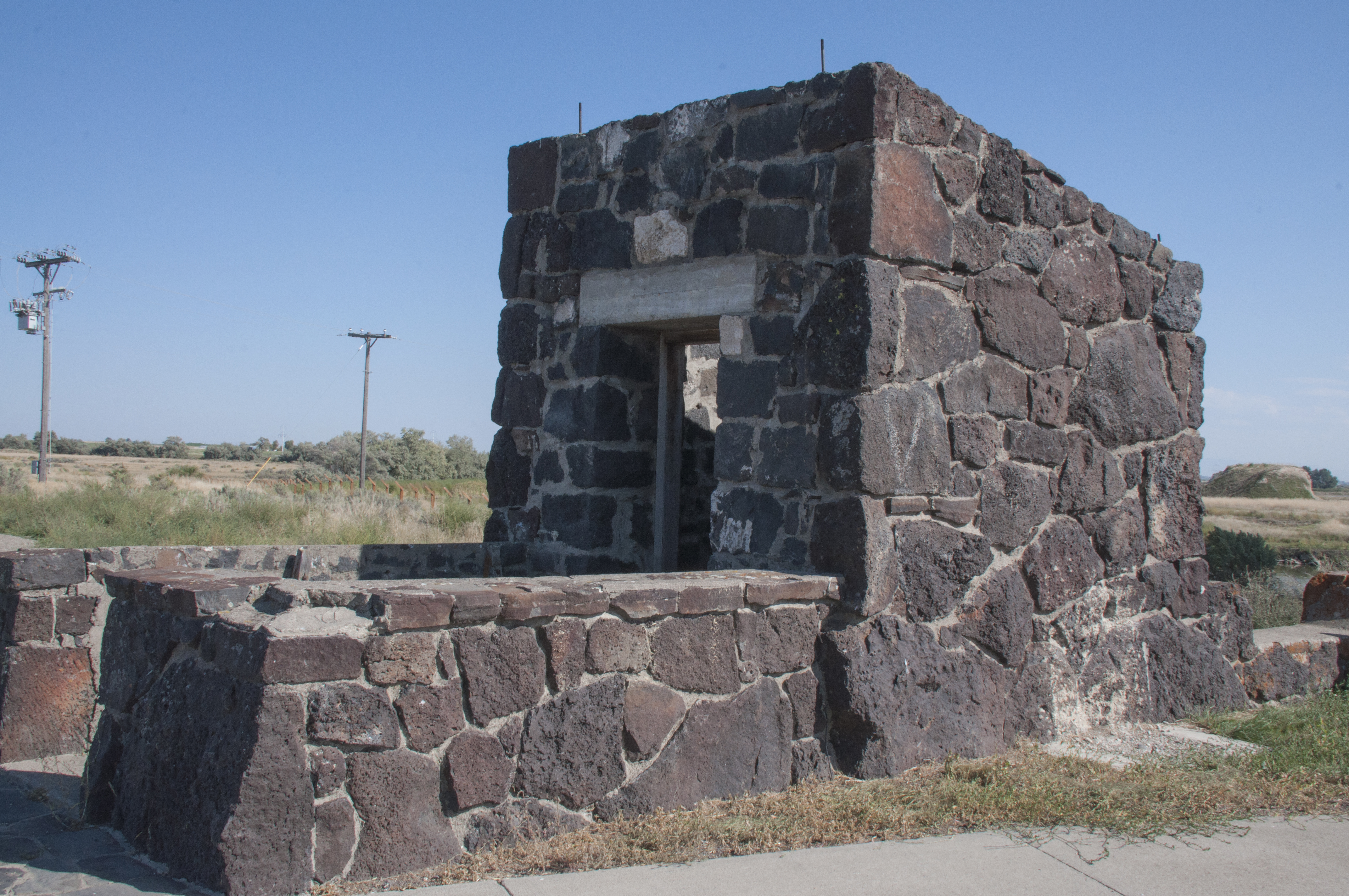
Stop #10: Massacre Rocks SP, Idaho

Our last two nights were spent at this state park in southeastern Idaho overlooking the Snake River. In preparation for our job at the Sacajawea Center we visited the Sho-Ban Museum of the Shoshone-Bannock nation. We were the only visitors there and the docent on duty spent a lot of time with us and was most knowledgeable. Then we did shopping, got haircuts and other get ready errands.

Massacre Rocks SP

So now we have only a four to five hour drive up to Salmon, Idaho and our home for the next four months. See you again when we are out and about in central Idaho.


Paradise Is Summer In The San Juan Islands

Orcas Island, Mount Constitution

The View From The Summit Of Mount Constitution On Orcas Island

We are now in the last week of our time in the San Juan Islands. It will be with mixed emotions that we board the ferry from Friday Harbor for the last time. How do we find words for this place? Magical. Enchanting. Romantic. Musical. Breathtaking. We may return some day but for now it’s on to another adventure. When we made the video we had to leave out several things or risk turning it into a mini series! So the still photos touch on a few of the places we had to exclude.

A bit to familiarize you with the islands before you view our video. San Juan Island is the second largest of this 85 island archipelago. The Washington ferry system serves only four islands so private boat transportation are like cars here. The only town on the island is Friday Harbor. It was named for one of the Hawaiian shepherds who worked for the Hudson’s Bay Company Bellevue Sheep Farm. His name meant Friday in his native language. So yes, there was a man Friday. It was originally called Friday’s Harbor but in the 1950s when the post office changed to automated address readers the machines couldn’t handle apostrophes. So all towns with ‘s had to change their names. Same with Vancouver Island which was originally Vancouver’s Island. On the north end is Roche Harbor. Originally it was the company village for the Lime Kilns. They were the largest lime works west of the Mississippi River. After the 1906 earthquake in San Francisco, lime from San Juan was used in the concrete to rebuild the city. In the late 1800s the Hotel Haro was built. Today you can tour the lobby and see the guest register signed by Theodore Roosevelt. Today, Roche Harbor is a resort, marina and very upscale housing area. The Madrona Grill was one of our favorite restaurants. The mussels in Thai curry coconut milk are to die for!Mount Baker, Washington, scenic drive

When we came to the islands, we thought we might get island fever. For folks who think a day trip is 250 miles we wondered if we’d tire of a 16.5 by 6 mile area. Nothing could be farther from the truth. We only returned to the mainland twice in four and a half months. Now we see why the islanders average mainland voyages only 2-3 times a year. When we did get back, besides running errands, we visited Mount Baker, North Cascades National Park and met up with a fellow Red Rock Lakes volunteer who lives in La Conner.

The people you see in the video are Rangers from San Juan Island National Historical Park, fellow volunteers or visitors. Events range from the Memorial Day and July 4th parades to the annual Encampment weekend, weekly Living History and/or our off time activities. On July 4th you are either in the parade or watching it. This year’s theme was Hollywood movies. I’m sure you won’t have trouble picking out our favorite entry. We hope you enjoy seeing the video. It’s no wonder we woke up every morning singing Camelot!

High Above The San Juan Islands

Those of you who follow us on Facebook know that we celebrated our 6th anniversary by taking a biplane ride over the San Juan Islands. We have put together a 10 minute video covering the highlights of our trip. There are pictures of both sites making up San Juan Island NHP, American Camp and English Camp. This summer Steve and Chari have been volunteering at the English Camp Visitor Center.

As with our previous videos you will get the best results by playing at full screen and allowing the show to load completely before hitting the play button.

Enjoy the ride!

A Week In O’Keeffe Country

Sorry for the delay in posting but our Jet Pack we use for internet died and we had to get a new one. On a good note we want to say thanks again to everyone who follows us or has stumbled onto our blog. We have now hit 25,000 views! That was a goal we’d set for 2014. With your help we made it. Where will we be on the total views for 2015? You’ll have to check in and see.

We now start on our way up and down US 50 through Colorado and then turn south into New Mexico. Our last day at Curecanti was a rainy one but high in the mountains it came down as snow covering the peaks. It was magical! The DreamChaser climbed it’s highest point at Monarch Pass, reaching 11,200 feet. The decent was “interesting” as we negotiated a ten mile 7-8% grade.  At one point Steve said “The transmission temperature is getting hot. I’m going to pull over and let it cool down.” That gave us a chance to get out and snap a picture or two. I only had my iPhone which handled the contrasty situation OK but not great. We continued on without incident.

Colorado, US 50, Monarch Pass

The View At Monarch Pass

Before long we reached flatter ground. Soon we found ourselves out of the woods and into the desert. The Chama Wild and Scenic River, Santa Fe National Forest and Carson National Forest along with beautiful rock formations make the northern New Mexico landscape appealing. We arrived at our campground on Abiquiu Lake. This is a Corps of Engineers park and a beautiful place to stay. With our Interagency Pass it was also very inexpensive. In fact for the next two weeks we’d be in Corps parks and our total cost was less than $150. In the summer you have to reserve an electric site way ahead. This time of year there were still vacancies. There is a beautiful view of the Pedernal from the campground. This was Georgia O’Keeffe’s favorite mountain. She is quoted as saying “Maybe if I paint it often enough someday God will give it to me.”

Abiquiu Lake, Corps of Engineers campground,

Abiquiu Lake

Pedernal, Georgia O'Keeffe, art, New Mexico

View Of The Pedernal


In 2008 before Steve came into my life, I’d visited Santa Fe with friends. We’d driven up to Abiquiu to see where Georgia O’Keeffe had lived. We learned you could tour her home through the O’Keeffe Museum but weren’t able to fit it in on that trip. I put it on the “someday” list. This week is “someday”. We choose the regular tour which costs $35 as the curator led tour for that week was already full. We were fortunate to have as our guide a retired fine arts professor who was also a painter. He said he’d been doing tours for only a month but you’d have thought he’d done it for years. He’d certainly done his homework. The tour did talk about her art but centered more on giving you insights into O’Keeffe as a person. Our guide talked about how she’d found the run down building belonging to the Catholic Church and how it took her ten years to convince the Church to sell it, the restoration and design of the home, her relationship with the community and the healthy lifestyle she followed. O’Keeffe lived to be 96. Many of the people who work on the estate today are grandsons and granddaughters of people who worked there when she was alive. Steve and I both loved the story about her relationship with her gardener. O’Keeffe collected rocks from many areas in the southwest and displayed them on her living room window sill. Of course being an artist she had them arranged aesthetically. Without ever speaking about it to each other occasionally the gardener would move a few rocks. O’Keeffe would spot the change and move them back. This went on for years. Neither of them ever acknowledged the game. Unfortunately no photos are allowed on tour. The photos used here are from the O’Keeffe Museum website.

Abiquiu O'Keeffe Home

O’Keeffe Home Living Room Looking Onto Garden

Studio Annex

Studio Annex

Courtyard Of O'Keeffe Home

Courtyard Of O’Keeffe Home

We spent time exploring the Ghost Ranch, a large workshop and conference center now owned by the Presbyterian Church. When O’Keeffe lived there it was a private ranch where she stayed and painted prior to obtaining the Abiquiu house. Today they hold self improvement, art and literature, paleontology and other workshops. They also rent rooms and cabins and have hiking trails and two museums on the property. We took a hike, visited the museums and enjoyed the gorgeous New Mexico fall weather. Toward the front of the property there is a log home. Does it look familiar? This was left on the property after being built for the set of “City Slickers”, the classic Billy Crystal movie. And yes, the sky was really that blue!

Ghost Ranch, New Mexico

Hiking At Ghost Ranch

A River Runs Through It

A River Runs Through It


movie prop, wagon

A Wagon From The Movies

A Tree Grows In New Mexico

A Tree Grows In New Mexico

movie, City Slickers, Billy Crystal

Cabin Used In “City Slickers”

At the suggestion of our campground host we took a drive to Echo Amphitheater in Carson National Forest and then to a monastery along Forest Road 151 in the Santa Fe National Forest. In other parts of the country these would be prominent sites. Here they compete with so many other beautiful sites that they are hidden gems. Echo Amphitheater true to its name creates a voice Echo, echo echo… The drive out FR 151 was amazing as we passed rock formations that looked like hobbit houses, the Chama River and at the end of the road the beautiful  Christ In The Desert Monastery of the Benedictine order that just celebrated fifty years in this location. Georgia O’Keeffee came here often to paint. The monastery was designed by renowned architect and woodworker George Nakashima. When I lived in the Washington, DC area I took a day trip with the Smithsonian to Nakashima’s home and workshop in Pennsylvania. The monastery uses solar power as the only source of electricity. The monastery runs the only monastic brewery in the US, the Abbey Brewing Company. In 2006 a five part television series, The Monastery, was made for TLC about five laymen living and following the monastic life for forty days. It is a place of total peace and serenity. While we were there no services were being offered but if you are lucky you might hear the monks performing Gregorian chants. Amazon offers a CD of the chants but we were not able to locate the TLC program.

New Mexico, Echo amphitheater

Inside echo Amphitheater

Rt. 151, scenic drive

The “Hobbit” Houses

Chama River, scenic drive

Chama Wild And Scenic River

church, landscape

Christ In The Desert Monastery

Monastery Gate

Monastery Gate


church, Christ In The Desert

Inside The Monastery Chapel

Another day we headed over to Bandelier National Monument. If you can get in before 9am you can drive right to the Visitor Center.  After that you must park in the satellite lot and take a shuttle to the park. This is because the parking in the park is so limited. We got ourselves up and going. The drive up the canyon is worth the trip all by itself. We arrived just in time to take a special tour given by volunteers telling about the work the CCC (Civilian Conservation Corps).  Until the CCC built the current road the monument was very difficult to access and had low visitation. We didn’t know at that time we’d be giving similar information about the CCC at Petrified Forest National Park. Following the tour we walked the trail through the cliff dwellings and posed for a picture.

Bandelier, national monument, scenic drive

Driving To Bandelier NM

Along The road To Bandelier

Along The road To Bandelier


Frijoles Canyon Scene

Frijoles Canyon Scene

CCC, Civilian Conservation Corps

CCC Buildings At Bandelier

rock formations

Tree In The Rock


Walking Amongst The Ruins

Walking Amongst The Ruins

Posing In A Cliff Dwelling

Posing In A Cliff Dwelling


On our way back we decided to go through Los Alamos and see the Bradbury Museum which tells the story of the Manhattan Project and current studies at the laboratory. It was strange to go through a security check point to enter a city. The museum was very interesting even though we were pushed for time.

atom bomb, Manhattan Project, Bradbury Museum

Display At Bradbury Museum About The Manhattan Project

Delivery Of The Nuclear Capsule For The Trinity Device

Delivery Of The Nuclear Capsule For The Trinity Device


Trintinite

Trintinite Formed From Heat Of Nuclear Blast


Our week went very quickly. Now we make a short move down to Albuquerque for an event we’d been anxiously anticipating for several months.

What Else Can They Do With Rock #1? City of Rocks National Reserve

City of Rocks National Reserve, rock climbing, scenery, hiking

One Of The Less Well Known NPS Sites

When we took our retirement trip in 2010 to Utah we were amazed at how many varieties and shapes of rock we saw. The phrase “what else can they do with rock?” became a common question. We are continuing to find ourselves saying this as we travel through other parts of the west. Our last stop in Idaho for this year is just one example.

We left Boise and headed south and east to the small town of Almo, Idaho and Castle Rock State Park which is adjacent to City of Rocks National Reserve. We’ve been to a national preserve but didn’t know the definition of a reserve. It was explained to us that the National Park Service oversees the area administratively and participates in decisions but the Idaho State Parks supply manpower and management.

A Panorama Of The Area

A Panorama Of The Area

When we arrived at Castle Rock SP we headed for our reserved site but ran into a new glitch. The site was still occupied. Steve checked and there was no car and no occupants. So we pulled off the road and went in search of the Camp Host. She offered us another site in the equestrian portion of the campground but if we really wanted the reserved site the park would arrange to tow the other trailer away. The alternative site was lovely so we took that one. We never did find out why the people hadn’t vacated on time. Our Camp Host, Dottie, was a very interesting woman. She is a solo RVer and rock climber who was one of the first woman blackjack dealers in Las Vegas. Each winter she goes to Mexico where she and two other woman (a retired professor from Columbia University and a native New Zealander)  have built an animal rescue and spay facility called Fiona Animal Rescue of Hidalgo to deal with the severe overpopulation and mistreatment of domestic animals in the area. To read more about this worthy effort go to http://www.potreropups.org.

fall color

Fall Color At City Of Rocks

City of Rocks National Reserve is one of the newer National Park sites offering stunning granite formations, overlapping biological regions for 750 plants and animals, world class rock climbing, 22 miles of hiking trails, photography sites and one of the best preserved locations on the California Trail. The park offers training in basic rock climbing with their Rock Climbing Ranger. Nearby is the Sawtooth National Forest with more beautiful scenery, lakes and campgrounds. We spent the first two days driving and walking among the spires and formations. Dogs are allowed on the trails so Opal enjoyed seeking out trails of pioneer dogs.

Replicas Of Pioneer Wagons

Replicas Of Pioneer Wagons


A "Cityscape" In Granite

A “Cityscape” In Granite


architecture, homestead

1890s Homestead Ruins


rock climbing

Rock Climbers Love This Park


Old Man In The Rock

Old Man In The Rock


rock formations

Steve Standing By Rock Formation


Latter in the week we had an opportunity to go on a two hour tour with the park archeologist, Kristin. The tour is listed in the park brochure but must be scheduled ahead. She is an excellent guide and provided many stories about the history of the California Trail and people who had left their signatures on Camp Rock and Register Rock. The park is working on a booklet about these people. Hopefully it will be available next year. Most of the signatures were written in axle grease but a few were carved into the rock. We learned that axle grease had come in many colors; red, green and even yellow so that at one time these rocks were very colorful. Now time and weather has made them uniform and in some cases difficult to read. Some 200,000 settlers passed through City of Rocks along the California Trail making this the largest emigrant movement in the world. One of the best known formations is The Twin Sisters because it could be easily spotted by the pioneers at a distance.

A Homesteader's Signature

A Homesteader’s Signature

One Of The Women Who Passed This Way

One Of The Women Who Passed This Way


A Traveler's Sketch

A Traveler’s Sketch

The Twin Sisters

The Twin Sisters

Today the town of Almo remains a very small ranching community where the general store still serves as the post office just as it has since the 1890s. If you come here, plan on bringing all your groceries with you as the nearest large grocery is an hour plus away. For non-campers there is a resort and motel and a few local restaurants.

Idaho, old photo, general store

Old Photo Of Almo General Store

Our drive into the Sawtooth National Forest turned up a few more interesting rock formations and great Fall scenery. We found two NFS campgrounds with good accessibility and suitable for our trailer so we added them to our GPS database. Even though they are dry camp areas we would enjoy a few days of fishing and hiking here. There is a wonderful scenic overlook at the top of Cache Peak. The Raft River below and the peak were named by Peter Skeen Ogden, a fur trader for the Hudson’s Bay Company in 1826. The river was so named because beavers had it dammed and it could only be crossed by raft. Cache Peak got it’s name because it served as a landmark for trappers as to where they had cached their pelts. There is one overlook where you can see the location of a WWII aircraft training flight wreck. If you look closely you can still see a tire lying there.

fall foliage, Sawtooth NF

Sawtooth NF Early Fall Foliage

lichen

Painted With Lichen


photography

A Landscape That Looks Like A Painting


rainbow in rock

A Rainbow Of Color In Rock


Can You See The Elephant?

Can You See The Elephant?


View From Cache Peak

View From Cache Peak

On A Clear Day You Can See Forever

On A Clear Day You Can See Forever


Two other National Park sites were within an hour’s drive; Hagerman Fossil Beds National Monument and Minidoka National Historic Site. When we put them into the GPS we didn’t realize they shared the same Visitor Center. so when we looked at the directions from one location to the other the GPS said “Drive six feet”. Who says machines don’t have a sense of humor. The Hagerman Fossil Beds are an extensive area of fossils along the Snake River Plain near Twin Falls, Idaho. The most famous are those of a herd of the earliest known horses called the Hagerman horse (Equus Simpicidens). They are more closely related to the Grevy’s zebra of Kenya and Ethiopia than the modern horse. Other fossils found here include mastodon and saber-toothed tigers. The small visitor center has good displays however the actual fossil sites are closed to the public. You can also see original wagon ruts of the California Trail passing close to the fossil beds.

fossil

Meet The Hagerman Horse


Snake River Canyon From Twin Falls Bridge

Snake River Canyon From Twin Falls Bridge


The Minidoka NHS was established in 2001 and tells the story about internment of Japanese Americans during WWII. I found the story and site to be moving, disturbing and educational. To realize that an entire segment of our population could be rounded up, deprived of their Civil Rights and freedom and imprisoned is shocking. It just shows what fear can do. Racial prejustice was already known to the immigrant Japanese (Issei) because as resident aliens they were prevented from owning land or obtaining citizenship. Their American born children (Nisei) were citizens. Following the attack on Pearl Harbor hostility increased and all people of Japanese ancestry were treated as spies and saboteurs. The impetus for internment was Executive Order 9066  in February 1942 which gave military commanders the power to exclude any persons from designated areas to secure national defense objectives. While the order could have been applied to anyone it was primarily used to remove 120,000 people of Japanese ancestry from the Pacific coast. Within five months ten relocation centers were built with 7,100 people being relocated to Minidoka. Here they faced barbed wire fences, armed guards and restricted movement. Faced with poorly constructed barracks and sanitation they had to endure temperatures from -21 to 104. However this was a resourceful group who went on to create gardens, publish a newspaper and create musical groups. Minidoka became almost a self sustaining community. By the time the camp closed in 1945 the residents had cleared and cultivated 950 acres of land. A questionnaire was used to determine loyal internees from dissenters. If they answered No to willingness to serve in the US Armed Forces in combat and to foreswear allegiance to Japan they were shipped to Tule Lake Camp in California. Minidoka became the camp for loyal internees. Minidoka had the largest number of men volunteering for military service. The 442nd combat unit served in France and Italy and had two Medal of Honor recipients. When the camp closed the newly reclaimed land was sold by lottery. Most of the former camp land remains privately owned today. A few structures from the original camp remain hopefully to keep this from ever happening again.

One Of The Remaining Structures At Minidoka NHS

One Of The Remaining Structures At Minidoka NHS

Minidoka Camp 1942-1945

Minidoka Camp 1942-1945


Replica Of Guard Tower

Replica Of Guard Tower

Turning The Desert Into A Garden

Turning The Desert Into A Garden


The 442nd In Europe

The 442nd In Europe


With this we leave Idaho for this trip and head for Utah. There is so much more to see we will definitely be back!


My First Grizzly

We were on our way home two days ago after doing errands in Bozeman. There is a section of US 191 that runs through the northern edge of Yellowstone National Park. We came upon one of the Yellowstone Traffic Jams that always means there’s something to see. Out in the meadow was a large Grizzly just enjoying the grass for dinner. He was a good football field away so pictures are good enough for a snapshot but no winners. This is the way we like it. Seeing wildlife from a safe distance. The bear was totally uninterested in the crowd that gathered.

Grizzly bear, Yellowstone NP, Montana

Oh, How Big You Are!

photography, wildlife

Scenic Drive: Gravelly Range Road

Montana, Gravelly Mountains, wildflowers

The Gravelly Mountains

The Red Rock Lakes National Wildlife Refuge’s northern border meets the Gravelly Mountains. The Gravelly Range Road is a dirt road running through the mountains from approximately 7,000 feet near Ennis, Montana to 9,300 feet at the highest elevation. The area is known for deep snows and is closed to vehicles until July 2 and occasionally later. During the second week of July the Rangers from the Madison District of the Beaverhead-Deerlodge National Forest lead an all day wildflower tour of the Gravelly Range Road. We were lucky enough to attend this year. Much of the time we felt we were back in school taking Botany 101. There were 26 cars and about 60 people and several dogs on the tour. It is free and no registration is required. just show up at their office in Ennis before 9AM on the day of the tour. With all the folks milling about and not wanting to miss the Rangers information we decided to return a few days later for photographs. A high clearance vehicle is required for this road.

Beaverhead-Deerlodge National Forest, Gravelly Range Road, scenic drive

On The Gravelly Range Road Wildflower Tour

Surrounded By Wildflowers

Surrounded By Wildflowers


Opal Likes Wildflowers Too

Opal Likes Wildflowers Too


Sorrel, Bistort, Flax and Little Sunflowers

Sorrel, Bistort, Flax and Little Sunflowers

The tour made four stops and we were given a map of the area which proved very helpful when we returned on our own. The variety and extent of the wildflower fields was fantastic. At one point we saw the tiniest wildflower called a Pygmy Bitterroot, no larger than a Buttercup and only a half inch in height. While at the last stop we found out we had a flat tire. Fortunately the Forest Service had anticipated the problem as most years this happens. Extra personnel was available to help change the tire. We didn’t want to drive back to the refuge on our spare as flat tires seem to happen regularly coming in/out of the refuge. So we headed to Dillon hoping we could get to the tire store before they closed at 6pm. We took a road off the Gravelly Range Road called Warm Springs Road and this led to Sweetwater Road. We knew we didn’t have time to stop so put those spots on the GPS for “when we come back”. We did make it to the tire store where they were able to patch two punctures. When I asked what did I owe, the man shrugged and said nothing.  I repeated nothing? To say the least if we ever need tires and are in the area we would certainly give them our business.

Sticky Geranium

A Sea Of Wild Geraniums

Flower Jazz

Flower Jazz


Common "Cow" Parsley Near Warm Springs

Common “Cow” Parsley Near Warm Springs

Cactus On A Sod Roof

Cactus On A Sod Roof

On our next day off that week we returned via our route to Dillon then retraced our steps to the tour stops. We stopped for a picnic lunch at Warm Springs while Opal went swimming. We found an old homestead and what looked like a root cellar built into the hillside with cactus growing on the roof. The views and groups of wildflowers are hard to describe so we’ll let the photos speak for themselves. I’m going to apologize for the last picture. It got into the blog in the wrong place and I’ve tried to delete it. It doesn’t show up on my last saved copy but keeps showing up in the preview so I’m guessing it will publish. I give up! The computer wins. If any of my computer guru friends can tell me how to get rid of it, let me know.

Scarlet Falsemallow

Scarlet Falsemallow

Sunset Over The Gravelly Mountains

Sunset Over The Gravelly Mountains


Linaria "Butter and Eggs" With Prairie Smoke

Linaria “Butter and Eggs” With Prairie Smoke

Scenic Drive: Big Sheep Creek National Back Country Byway

scenic drive, Big Sheep Creek National Back Country Byway, BLM, Montana

A Panorama Of The Big Sheep Creek National Back Country Byway

Montana

Changing Plans On A Frontage Road Just Off I-15

What happens when you put three adventurous, self confessed photography buffs in a truck and send them off to Bannack State Park? They stop for gas near Lima, Montana and take a look at the map. Their eyes wander over to a car symbol indicating a scenic drive. They look at each other and take about ten seconds to change plans for the day. After all the Big Sheep Creek National Backcountry Byway is only two miles up the road.


BLM, scenic drive, Montana

Entering The Big Sheep Creek National Back Country Byway

This 55 mile scenic drive begins a mile and a half south of Dell, Montana. It swings west/southwest then heads north ending at Clark Canyon Reservoir with easy access to I-15. This is BLM land mixed with private ranches. There are several BLM campsites and hiking trails throughout the route. We checked two of the campgrounds and our trailer would fit some sites so we saved the location on the GPS. These are free campgrounds without facilities and are on a first-come-first serve basis.

As you will see in the photos the weather was sunny when we first started the drive. By the time we reached the end in the late afternoon it was overcast with threatening storms. That’s not unusual for Montana. The weather can change several times in a single day.

We drove along a valley with sage and tree covered hills on one side and a fast running Big Sheep Creek on the other. In one I used Steve to give you an idea of scale for the height of the hills (back East we’d call them mountains). The texture and colors were beautiful. We didn’t need the sign to tell us to go slow since we were stopping for photos every few minutes.

A Long And Winding Road

A Long And Winding Road


Our Truck On The BSCNBB

Our Truck On The BSCNBB


Big Sheep Creek Rushing Down The Canyon

Big Sheep Creek Rushing Down The Canyon


Steve Gives Scale To The Rocky Landscape

Steve Gives Scale To The Rocky Landscape


Along the way we found wildflowers, what appeared to be an abandoned eagle nest and an unidentified structure built into the hills: An old mine shaft? A root cellar? A sod house? Then there was a talus field from what we think was an avalanche area.

cactus, wildflowers

Pear Cactus Were Blooming Profusely

penstemon, wildflowers

Penstemon Growing Among The Rocks


What Type Of Structure Is This?

What Type Of Structure Is This?


photography, Montana, scenic drive

A Talus Field


mountains, landscape photography

Nature Is An Artist


Winding Our Way Along The Byway

Winding Our Way Along The Byway


A Slower, Meandering Section Of Big Sheep Creek

A Slower, Meandering Section Of Big Sheep Creek


As we drove further the canyon flattened out to a fertile valley full of cattle ranches with mountains in the distance. Before leaving the scenic drive we passed an elk ranch with some large bulls showing off new antlers.  The last leg of our trip brought us around Clark Canyon Reservoir where Lewis and Clark camped. This was where Sacajawea realized she was back in Shoshone country and was reunited with her brother. The park offers some historical information, a life-size model of a Corps of Discovery dugout canoe, fishing, boating and camping. If you ever are heading through Montana on I-15, take time to get off the interstate and enjoy this scenic drive.

Entering The Valley

Entering The Valley

A Handsome Bull Elk

A Handsome Bull Elk


Clark Canyon Reservoir

Clark canyon Reservoir