A Cajun Christmas In New Orleans

NOLA Panorama

NOLA Panorama

We’ve been wanting to spend time time in New Orleans ever since we hit the road. This year (2016) we finally got here. Another sticker for the RV map. That only leaves 3 states in the lower 48 we haven’t camped in West VA, Ohio and Connecticut). We chose Bayou Segnette SP on what is referred to as the westbank area. Good choice as it has large sites, free wifi, free laundry and is only a 10 minute drive to the Algiers Point ferry to downtown New Orleans. The parking for all day was $5 and senior rate on the ferry is $1 each way. If you are lucky you might even get serenaded by the calliope from the Steamboat Natchez.

Steamboat Natchez In The Fog

Steamboat Natchez In The Fog

We spent the first day with friend and fellow volunteer from Red Rock Lakes, Marilyn, touring two of the six sites that are part of Jean Lafitte NHP. The first was Chalmette Battlefield (site of the 1814 Battle of New Orleans) and the other in Thibodaux, LA at the Acadian Culture Center. We arrived in Thibodaux just in time for a Ranger led walking tour of town covering history and architecture of the area. If you enjoy discovering the small towns and hidden gems of our country, don’t miss this walk. We saw original Acadian homes, Victorian homes, Art & Craft homes, Beau Arts buildings and even one of only two Second French Empire homes in Louisiana. We also learned about the Louisiana seal which depicts a pelican with 3 chicks ripping her own flesh to feed them. This was created based upon what the first governor thinks he saw. Truth, per the Ranger, is that pelicans never have more than two chicks and usually only one survives, no bird would rip itself to feed young and that until the late 20th century the seal also showed blood droplets. The Center hosts free events such as a Cajun music night and a local dialect of French discussion group to preserve the language. At one time it was illegal to speak the Acadian language. We ended the day with a meal at Fremin’s, once a pharmacy cum restaurant. Oh, those smoked oysters and gumbo!

Seal Of Louisiana

Seal Of Louisiana

Chalmette VC and The Battle Of New Orleans

Chalmette VC and The Battle Of New Orleans

Malus-Beauregard House

Malus-Beauregard House


Victorian Home In Thibodeaux

Victorian Home In Thibodaux

Second Empire French Home

Second Empire French Home


Thibodeaux Cemetery

Thibodaux Cemetery

Day two was a walking marathon through the French Quarter. We started at the Old Mint, the only mint to have coined currency for both the US and the Confederacy. Currently it is also being used as the Visitor Center for the New Orleans Jazz NHP. Then we walked and photographed ourselves silly on the fabulous architecture and seasonal decorations. We returned to the Jazz park for a Ranger led walk on music and cuisine. If America is the melting pot of the world then surely New Orleans is the epicenter. We knew about the Spanish, the French, the Acadians, the Caribbean influence but Canary Island Islenos … we had no idea. We were still able to catch half of the free jazz concert by the NPS Arrowhead band too. Starving we stopped for a muffuletta and jambalaya.

Bourbon Street

Bourbon Street

The French Market

The French Market

Shabby Chic

Shabby Chic

The Cornstalk Hotel

The Cornstalk Hotel

Mardi Gras Beads On Balcony

Mardi Gras Beads On Balcony


muffuleta-sign

Landmark Eatery

OMG! The Food!

OMG! The Food!


New Orleans Architecture

New Orleans Architecture

French Quarter Scene

French Quarter Scene

All That Jazz!

All That Jazz!


New Orleans From The Ferry At Sunset

New Orleans From The Ferry At Sunset

Being in a vibrant city at holiday time is special. We loved the decorations, the lights at The Oaks and most of all the Cajun custom of guiding Papa Noel with bonfires along the levees. Steve has put together a video of these events and our visit to Garvan Woodland Gardens in Hot Springs, Arkansas. Enjoy!

Merry Christmas and Happy New Year to everyone!


Putting The C In Colorful Colorado

Colorado, San Juan Skyway, Durango

San Juan Skyway Panorama

From New Mexico we headed to Durango, Colorado for what would become a memorable week. We enjoy all of our travels but some visits you know are special. They will be revisited in our memories and photos for years to come. This was just such a week. We were lucky to be able to find an RV park with space on short notice in this ever popular leaf peeper location. We were even luckier to get two of the last four seats in the narration car of the Durango and Rio Grande narrow gauge railroad. Then Mother Nature gave us a home run. Not only did we hit peak color but it rained which meant snow on the mountains.

The San Juan Skyway sometimes referred to as The Million Dollar Highway follows US Route 550 from Durango to Silverton and on to Ouray and Ridgeway. From there it turns west and then south to Cortez and back east to Durango. In segments we did the whole loop. We jumped out of the truck frequently for photos. The scenery is breathtaking as is the elevation of over 11,000 feet. The road winds along and as you climb toward the old mining towns there is no guardrail. We learned later that this is intentional. Silverton has one of the highest percentages of avalanches in the world being located in five avalanche zones. When they occur the plows come along and push the snow over hedge. This couldn’t be done with guardrails present. Sans guardrail the journey is both barrier free and toe curling.

Colorado, hot springs

Pinkerton Hot Springs

We set out on our first drive and found a formation similar to Mammoth Hot Springs, only much smaller, just a mile up the road. This is called Pinkerton Hot Springs. The colors of rust, tan, yellow and green blended perfectly with the Fall colors. It was a very overcast day with contrasty skies so we did most of our photos in HDR. Even though it was a damp day we didn’t mind because the scenery was so spectacular. The San Juan Mountains were settled late in the 19th century because they were so inaccessible. Discovery of silver, gold and lead finally brought miners and the towns of Silverton and Ouray. At one time there were 300 mines operating in the area. Gradually their bounty was exhausted and most were closed by the 1970s. The area is now mining the gold from tourists pockets. The Animas River flows freely down the mountains to Durango. We were fortunate enough to catch the DR&G train in Silverton just as it was repositioning for the return trip complete with steam billowing from the smokestack. It looked like a Lionel train setup.

autumn, Colorado, aspens

The Colors Of Autumn

Remnants Of An Old Mine

Remnants Of An Old Mine

Along The Million Dollar Highway

Along The Million Dollar Highway


Little Molas Lake, photography

Reflection On Little Molas Lake

The Animas River

The Animas River

A Canyon Cut By The Animas River

A Canyon Cut By The Animas River


Mountain View Near Ouray

Mountain View Near Ouray


train, scenery,

DG&G Train In Silverton

A few days later we rode the DR&G train along the Animas River from Durango to Silverton. This is a narrow gauge railroad has tracks only 3 feet wide so it rocks quite a bit. Made for some challenging photo attempts! The engineers chose the narrow gauge style as it was easier to wind tracks through the mountains. It took two years for a route to be surveyed and established but only nine months to build by using 5 teams working on separate sections.  They had to build tunnels, trestles and blast a bench along a ledge above the river. Prior to the railroad all supplies coming up and all ore going down had to be moved by mule teams. The railroad was completed in 1878. By the 1970s with mines closed the railroad was facing abandonment. A wealthy train aficionado from Florida bought the line and turned it from a failing enterprise to, as the National Geographic Magazine stated, the best train ride in the USA. This is a must do for anyone visiting Colorado.

We had about an hour to walk around the town of Silverton, visit the museum and take photos of the train. A return visit is needed for sure to take in all the area has to offer. We really enjoyed both of the interpreters on the train. The first one portrayed the first lawman in the area and filled us in on the early history of the area. The second one portrayed General Palmer, owner of the DG&R, and gave us history on why and how the railroad was built. Along the way we passed the house used in Butch Cassidy and The Sundance Kid. It is the one where Etta Place (Katherine Ross) lived and the bicycle scene was filmed. We had to laugh when the 20 something employee came through selling souvenir videos etc. The train was all adults and most with gray hair to boot. He mentioned that the video was narrated by Dennis Weaver and then went on to say he’d never heard of “Chester” before taking this job! OH NO! Say it isn’t so Mr. Dillon!

Hear The Train A-Comin'

Hear The Train A-Comin’

Vintage Boxcars

Vintage Boxcars

DG&R Caboose

DG&R Caboose


Riding Along The River

Riding Along The River

Our Train In Silverton

Our Train In Silverton


DG&R Engineer

DG&R Engineer


Silverton Street

Silverton Street


Durango is a fun place to walk and explore. We spent time in the depot museum, looked at neighborhoods with elaborate Victorian homes, admired restored hotels like The Rochester and ate at the Strater Hotel. The bar maids (dressed a la Miss Kitty) are one of the most photographed parts of Durango. The Rochester once a home for film stars of the 40s and 50s had fallen on hard times before its renovation in the 1990s. There we found a rare photo of “The Duke” in a Speedo.

Victorian Homes In Durango

Victorian Homes In Durango

The Rochester Hotel

The Rochester Hotel


The Duke Goes Casual

The Duke Goes Casual


Dinner At The Strater Hotel

Dinner At The Strater Hotel


Next time we hope to plan ahead and take the Photographers Special train where they stop along the way and pose the train for shots you can’t get any other time.

Up, Up and Away: The Albuquerque Balloon Fiesta 2014

Fiesta Balloon

Fiesta Balloon

Festivals are one of the activities we enjoy as we travel along in our RV. The Albuquerque Balloon Fiesta held every October is one of the largest balloon gatherings in the world. It had been on our Bucket List for a long time. Finally we were here. They do have RV sites in a field adjacent to the Fiesta but they are rather close together. If you’ve read our blog before then you know being crammed in is not our style. We chose to stay about 30 minutes north at Cochiti Lake in the electric and water loop. The park is located on land owned by the Cochiti Pueblo and the lake is a Corps of Engineers project.  It was a very easy commute to the Fiesta Park down I-25.

Keeping Track Of Steve

Keeping Track Of Steve

Coffee Now!

Coffee Now!


Balloon Truck Logo

Balloon Truck Logo


Another Balloon Truck Logo

Another Balloon Truck Logo


Balloon Crew Humor

Balloon Crew Humor

Another Day Begins

Another Day Begins

The Albuquerque Balloon Fiesta is one of the few balloon festivals that allow spectators to mingle with participants on the field throughout the event. This allows you to watch and ask questions. We talked with pilots, crews and chase teams and learned from them. Most hot air balloons are made in Brazil. The simplest balloons cost $25,000-50,000 while the special shape balloons are well over $100,000. Each balloon team is assigned a spot on the field marked with a letter and number. The field is huge. Steve paced it off and we estimated it was four football fields wide by twelve football field long. The reason the festival is held here at this time of year is the appearance of favorable winds which allow them to fly “the box”. They generally launch and fly south at one altitude then with a blast of the burner increase altitude and fly north back to the starting area where they come back to the original altitude. Repeating this cycle allows them to stay aloft for a long time. Each balloon waits for directions from the “Zebra” overseeing their launch. These are the launch directors wearing black and white shirts. They are responsible for keeping the balloons safely separated in the air. Not an easy task when you have over 300 balloons aloft! Hot air balloons must have an inside temperature one hundred degrees higher than the outside temperature to launch. That’s one reason they fly early in the day or towards evening. The chase teams follow the balloons when they begin final decent. Pilots try not to fly too far north of the field as this could cause them to land on an Indian Reservation. Chase teams are not allowed to enter reservation property without a native guide. Waiting for a guide when a balloon does come down on a reservation can add hours to the recovery time. The entire festival is dependent on volunteers and is so well organized that you are unaware of the complexity involved.

Balloon Pilot

Balloon Pilot

The Hot Air Balloon Museum

The Hot Air Balloon Museum


A Carnival Atmosphere

A Carnival Atmosphere


Albuquerque Balloon Fiesta, hot air balloon

The Dawn Patrol

A few things we learned from our first visit to the Albuquerque Balloon Fiesta are:

1) Plan on attending for the entire festival as cancellations due to high winds or inclement weather mean on average 6 out of 10 events will go as planned. We came for 5 days and both evening glow and farewell mass ascension events were cancelled. Not that we need an excuse to return but when we come back….

A Favorite Of The Fiesta -  The Kissing Bees

A Favorite Of The Fiesta –
The Kissing Bees

2) If you can arrive for morning events by 5am and afternoon events by 4pm then there is ample parking ($10) at Fiesta Park. Otherwise plan on using free satellite parking and the shuttle.

Early Liftoff

Early Liftoff

3) The online ticket purchasing site is a bit confusing for first time users. We had purchased specific tickets but with hindsight if you are attending multiple events the package of 5 general admission tickets would work better. Also in the future we will plan on one event each day as there is little going on mid day.

Early Morning Play

Early Morning Play

Bubble Fun

Bubble Fun


The Balloon Fiesta Museum is well worth a visit and is open year round. The festival also provides free activities for kids (of all ages), the Woodcarvers Championships, an information tent run by NASA and a variety of street performers. As we were leaving one day we stopped at a ventriloquist. He (the puppet) started talking to me. As I stepped up to have my picture taken he “jumped” and screamed as if I’d “goosed” him which, of course, made me laugh just as Steve snapped the picture!

She Did WHAT?

She Did WHAT?

4) Plan to dress in layers including hats, gloves etc. as it is quite cold both early and late in the day but warms quickly so you’ll be shedding and lugging the extra clothes. Wear comfortable shoes as you’ll be walking miles by the time you finish wandering from place to place. You won’t care though as you’ll feel like a kid in a candy store.

5) Bring your own food if possible. There are numerous food outlets but the cost is very high for what you get and in our opinion not all that great. There are tons of souvenir booths too but again we felt $35 for a T-shirt was a bit much.

Balloons Everywhere!

Balloons Everywhere!

There is no way we could give you the true experience of being here. We’ll try our best via a 16 minute video. This is one festival you need to see.

Beware Of Pirates

Beware Of Pirates

Puff The Magic Dragon

Puff The Magic Dragon


Humpty Dumpty Sat On A Wall .....

Humpty Dumpty Sat On A Wall …..


Ribbitt!

Ribbitt!


Now On With The Show!

Now On With The Show!

Glacier National Park – Sculpted By Ice

Montana, Glacier National Park, waterfalls

Arrowhead Fal

We settled in for a long drive of about six hours from east of Butte, Montana to Big Creek Campground in the Flathead National Forest near the west entrance to Glacier National Park. Montana is a big state and distances on a map can be very deceiving. We chose to stay at the National Forest rather than at a campground in the park as we are on the upper limit for the park campgrounds. After looking at the sites later we were very glad we made that decision. Our site at Big Creek was large, wooded, private and offered lots of free firewood. The only downside was a two mile stretch of very rough road. Later we found another way in that while longer only had a short stretch of rough road. We are still dry camping but came in with a full tank of water. Good thing as the water connection was a long way from the trailer. The campground is along Big Creek, a major tributary of the Flathead River. The Flathead is a National Wild and Scenic River. The whole area is a fisherman’s and rafter’s dream.

Glacier National Park, Going-To-The -Sun Road

Along The Going-To-The-Sun Road

Glacier NP is half of what is called the Glacier-Waterton International Peace Park. This is the only park in the world dedicated to long standing peace between two countries. We didn’t get to Waterton this time but “when we come back… Glacier NP has been on my bucket list longer than I care to admit. I wasn’t disappointed. While I haven’t been to Machu Pichu (not yet anyway!) this is what I imagine it will look like. At over a million acres this is a huge park. There is only one road running through the park from east to west, The Going-To-The-Sun Road. It is 50 miles of the most gorgeous scenery we’ve seen since the Beartooth Highway. Completed in 1932 it is considered an engineering marvel and is a Civil Engineering National Landmark. On average it opens about mid June and is passable until mid or late September. This year it had opened only to be closed again by 2′ of snow, the same snow storm on June 17 that gave us a dusting at Red Rock Lakes NWR. The park averages 25′ of snow a year so plowing the GTTS is difficult and dangerous. Just east of the high point at Logan Pass drifts can be 80′ deep!

The drive , if you don’t stop, would take about an hour and a half. So for us, it was an all day trip on day one and about 3 hours on subsequent drives. From an area called The Loop to Rising Sun the road is cut into overhanging rock on one side and a low (18″) guardrail overlooking a steep (1,000-2,000′) valley on the other. I felt so small and insignificant in this vast wilderness. So you tend to crowd the middle line. We didn’t think about pulling in our mirrors and there was no warning sign. On the way back to camp we clipped mirrors with another truck and the driver’s side mirror shattered. From then on we pulled mirrors in! A bit like closing the barn door after the horse is out! Fortunately we were able to get repairs made in Whitefish about 20 miles away.

forest fire, black and white photography, Glacier NP

Silent Sentinels From Fires In 2003

wildflowers

Fireweed In Bloom


glaciers, lakes, Montana

Glacier Blue

mountain stream, photography

Soft Water


wildflowers

Late Summer Wildflowers At Glacier


Black Bear

Our Only Bear

View Looking Up Lunch Creek

View Looking Up Lunch Creek

We’d expected gorgeous scenery but we weren’t expecting so many fabulous waterfalls. Lunch Creek is a favorite stopping spot both for a hike uphill to the falls and for sitting, wading and picnicking. Day two we had planned to take a boat ride on St. Mary’s Lake to other falls and go on a Ranger led hike. I say planned because after we got there and got unpacked, Steve couldn’t find the car keys. He tore the truck apart. Realizing we were not going to make the trip today, I changed reservations to the next day. He was going crazy and still not finding the keys when I returned. I started looking too. I went through my purse and…you guessed it, there they were. I don’t remember picking them up but obviously I did thinking they were my set. You know your husband loves you if ……. I do love her EVEN when she does things like this!

waterfalls

Swiftcurrent Falls

So what to do the rest of the day? We drove over to another area that is not on the GTTS Road called Many Glacier. Glacier NP is not named for the glaciers that used to be there but for the action of the glaciers on the landscape. As of now, it is expected that all of the glaciers will have melted by 2030. A glacier by definition must be 25 acres in area, 100 feet deep and be moving. We spent time along rushing streams, took photos along Swiftcurrent Creek and walked part of the Ptarmigan Trail. We’d started too late to get all the way to Iceberg Lake but met several people who were on their way back. All said it was well worth the hike. Another thing for when we come back. By the time we got to the truck it was dinner time and we still had a two hour drive back. It was getting dark and rainy. So we grabbed pizza to go and took the “long” way around rather than drive the GTTS in the dark and fog. We kept saying “bet this is beautiful if we could see it!” Opal was very glad to see us after 12 hours in the trailer. They keep telling me how beautiful it is but all I see is the inside of the trailer.”

Scenery In Many Glacier Area

Scenery In Many Glacier Area

Steve On The Ptarmigan Trail

Steve On The Ptarmigan Trail


Glacier National Park, photography

Against The Wind

We made the drive back to St. Mary’s Lake on Friday and took the 2pm boat trip. A ranger was on board and explained a lot of park history. We especially liked learning about the early period when the railroad had built an exclusive resort on the lake.  We cruised by Little Goose Island. There is an overlook for the island on the GTTS that is the most photographed place in Glacier NP. We tried to get sunset pictures after the cruise but Mother Nature only gave us thick clouds and no sun. After docking we took a 3 mile hike to two waterfalls; Barring Falls and St. Mary’s Falls. The scenery from the trail was spectacular! On the ride back we saw Triple Divide Peak. This is only one of two places in North America where water flows in three directions: to the Mississippi on the east, to the Pacific via the Columbia River on the west and to Hudson’s Bay to the north.

boat, St. Mary's Lake

Cruise Aboard The Little Chief

cruise, St. Mary's Lake

Beautiful Day On The Water


Barring Falls

Barring Falls

waterfall

St. Mary’s Falls


Glacier NP, boat ride, St. Mary's Lake

Approaching Little Goose Island

Ranger Talks About Medicinal Use Of Plants

Ranger Talks About Medicinal Use Of Plants


triple divide

Triple Divide Peak


hike

View From Waterfall Hike


We finally got to Logan Pass for the much heralded hike to Hidden Lake. Believe them when they say that the parking lot fills early. When we arrived at 9:45 we got one of the last parking spots. After that, getting a spot is like going to the mall the week before Christmas. Logan Pass is the highest point on the GTTs road. If you do no other hike, plan on this one. It’s about 3 miles to the Hidden Lake Overlook and 7 to the lake roundtrip. The scenery, the wildflowers and most of all the symbol of Glacier itself, the mountain goats make it very special. I only wish the guy that made the boardwalk had thought about people with short legs when he built the steps! At about 8,000 feet it was much colder. I was glad I had a pair of fingerless mittens in my camera bag.  Just when we reached Hidden Lake a few raindrops fell. We didn’t stay long as we could see the storm coming. About halfway down it really began raining and sleeting. Sleet doesn’t feel good on a bald head! Steve cut a black plastic trash bag and slid it over himself and his camera. Fine except that it was so tight he couldn’t move his arms. If he’d fallen he’d probably kept bouncing all the way to the bottom! My jacket was water resistant but by the time I got to the Visitor Center I was soaked through to the skin and very, very cold. I made a quick stop at the bathroom and when I came out the sun was shinning. People just arriving looked at me like I’d just gone overboard and been rescued. It was a long, cold ride back to the trailer.

Logan Pass, wildflowers

Wildflowers At Logan Pass


hiking, Glacier NP, landscape

Hiking To Hidden Lake


mountain goat

Ahhhhhhh!!


Columbian ground squirrel, wildlife, Montana

Time For A Snack

nature, mountain goats, Logan Pass

Three Mountain Goats Along A stream

hike, Logan Pass, Hidden Lake

Hidden Lake Overlook

We’d hoped to do some kayaking but by the time we finished sightseeing and hiking the weather had become overcast and rainy with a “winter comes early” feel to the air. Guess we will just have to come back! We did drive up to one of the smaller lakes on the west side called Bowman Lake. The access is good until you start up toward the campground. This is suitable only for tents and truck campers. A rough, narrow dirt road but worth the effort as the lake is gorgeous. The rocks just below the water at the lake’s edge have so many colors. On the way back we stopped at the Polebridge Mercantile, a general store/bakery. We loaded up with cinnamon huckleberry bread (made great french toast), huckleberry bear claws and eclairs. Polebridge was one of the first commercial enterprises near Glacier NP. It still has cabins and a bar/restaurant with local musicians. A few buildings are from the original homestead.

Bowman Lake, Glacier NP

Bowman Lake

Color Under The Surface

Color Under The Surface


Delicious Bakery!

Delicious Bakery!


These pictures barely do this park justice. You really need to come see for yourself. Have we just found a new favorite national park?

Make That Two For The Road

RV, fulltimers, travel,

Chari And Steve’s Travels For Year Two On The Road

WOW!!  Can it really be two years since we pulled out of our driveway in Charlotte, NC leaving life as we’d known it for a modern day Travels With Charlie or in our case Opal? The answer is yes. We have 65,500 miles on the truck to prove it. In 2014 we stayed in 39 campgrounds and travelled 33,500 miles with about 30% of the time pulling the trailer. If you want to look at the map above in full screen just double click over the picture.

The Gypsy And The Vagabond

The Vagabond And The Gypsy

We made our first international trip to the Canadian Maritime Provinces. Chari has learned to hook up and disengage the truck and trailer. As of last week she now has driven interstates, backroads and into a truck stop. Learning to back into a campsite is a goal for year three. Real women drive RVs! After eighteen months of being east of the Mississippi River we’ve now crossed over to explore the west for a few years.

We’ve also experienced the down side of mechanical failure and accidents. Even this hasn’t caused us to question our decision to continue the RV lifestyle. We love it. We’ve seen and done so much only to discover we’ve barely scratched the surface.

We are officially SoDaks now, that’s residents of South Dakota. This is one of the most popular states for full timers to use for residency.

Most of all we hope you’ve enjoyed traveling with us. What will Year Three bring our way? You’ll just have to pack your virtual bags and come along.

And now we return you to your regularly scheduled blog…

blog, travel, RV, explore

We’ve Come A Long Way, Baby!
(Year 1 Yellow and Year 2 Red)

Happy 2014!

Happy New Year to all!  We hope you all had as fantastic a year as we did, and hope that 2014 will be even better!

Last year, at New Year’s Day, we posted a blog entry listing our goals for 2013.  Well, here we are at New Year’s Day again!  How did we do?  Here’s a repeat of last year’s post, with our comments and goals for 2014.

In 2013 we said “We can’t imagine a year more exciting, challenging, draining and life altering than 2012. What could 2013 offer? We don’t know and that’s what keeps us on the move as we seek new places, new adventures and check off a bucket list item or two.

I’m not going to call them New Years Resolutions that way I can’t break them. I’ll call them goals instead.”

Here were Chari’s Top 5 For 2013:

1)   I want to develop our blog to be more user friendly, add new features and reach 5000 views. In 2012 after just 6 months the blog has 21 followers and reached 1,188 views. Now that’s nothing compared to some of the top rated blogs but we appreciate each and everyone who has taken an interest in Homeless and Loving It!

By New Year’s 2014 – To my utter amazement this was achieved and surpassed. We now have 69 followers on the blog and many more via Facebook, Twitter and Linked-in. We ended 2013 with 11,175 views. So where to go from here? Shall I really reach for the stars by saying I want 25,000 views? Yes.

2)   I want to ride a Segway on a tour in some city or other place. I’ve wanted to do this for a long time and now it’s finally reached the top 5. 

By New Year’s 2014 – Done and enjoyed in Savannah. Don’t have a new challenge selected for 2014 but I’m sure one will come along.

3)   I want to take a sailboat day trip. I’ve been on big ships and small boats. I’ve kayaked and canoed but I’ve never been on a sailboat.

By New Year’s 2014 – Didn’t get out all day but had a wonderful time on an evening cruise in Halifax Harbor.

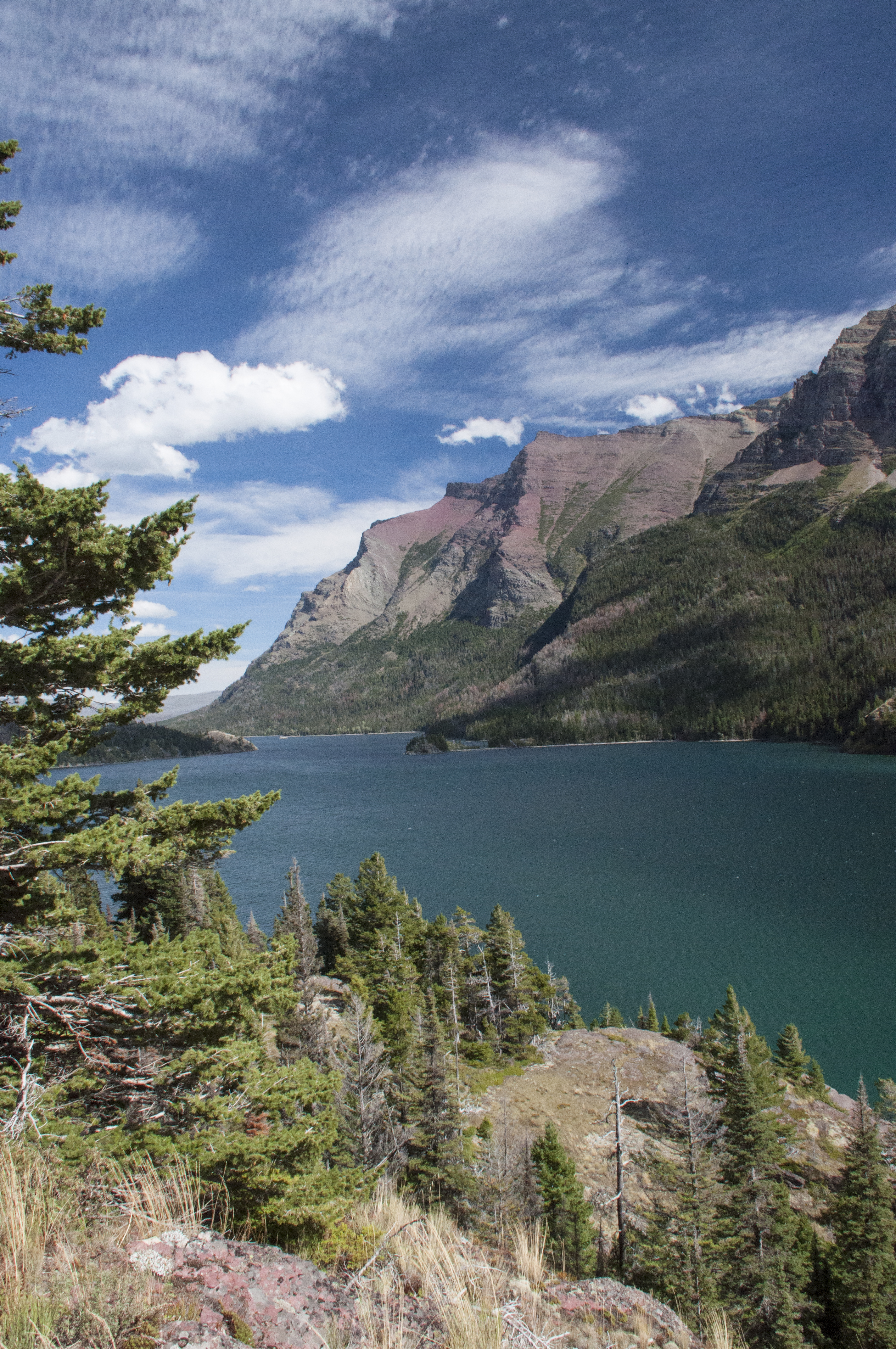
4)   I want to continue seeing National Park sites toward our goal of seeing them all. I haven’t counted recently but I think we are at 60 out of 391. What are the chances of reaching 25% next year? That means 38 more places. Mmmm, a tough one. It’s not the count that matters but the fun and learning along the way.

By New Year’s 2014 – Made it to 22% and our count is 86 NPS sites. So let’s shoot for 30% in 2014. That means 123 sites but we’re heading west and there are more parks out there.

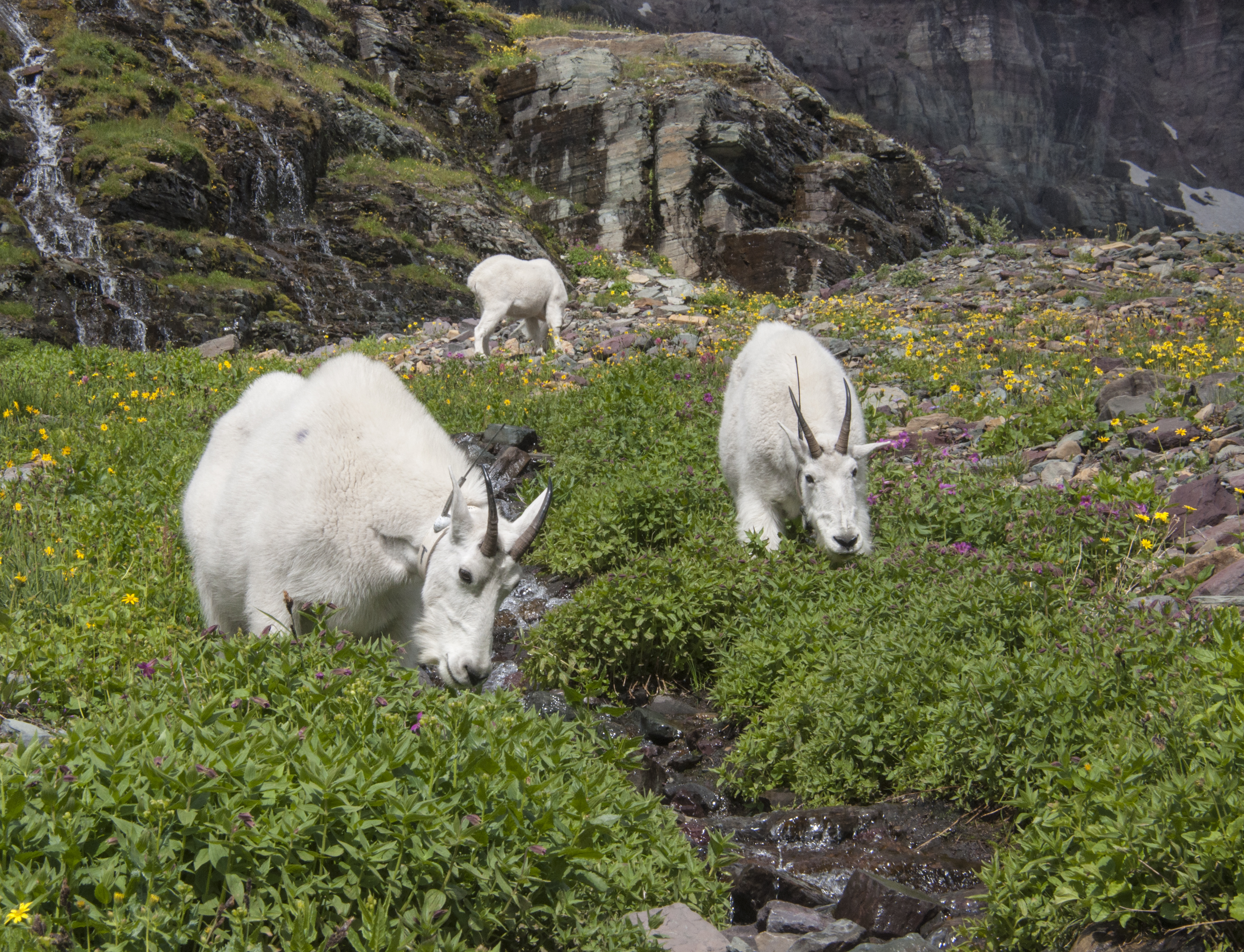
5)   See a moose in the wild when I have my camera with me. Two years ago I was kayaking in Idaho when I rounded a bend and came within 100 feet of a cow moose and her calf. I stopped and said “I won’t hurt you” meaning “and I hope you won’t hurt me.” She just looked, decided I didn’t need further investigation and walked away with the calf in tow. To this day I consider this the best wildlife shot I could have had, the one that got away.

By New Year’s 2014 – Saw 5 moose, once w/o the camera handy and 4 when it was too dark to shoot from our truck.

       New For 2014 – Two out of five from 2013 are moving forward to 2014. What else should I shoot for?

1)  Make myself use my tripod more often. I have a bad habit of just grabbing the camera and taking off.

2)   Keep current with our blog. Easier said than done!

3)   Get myself out of bed and do sunrise shots. For this I’ll pretend to be going back to work (yup I just said the W word). Definitely easier said than done!

Better not get too carried away I’ve already had enough self-improvement for today.

Here were Steve’s Top 5 For 2013

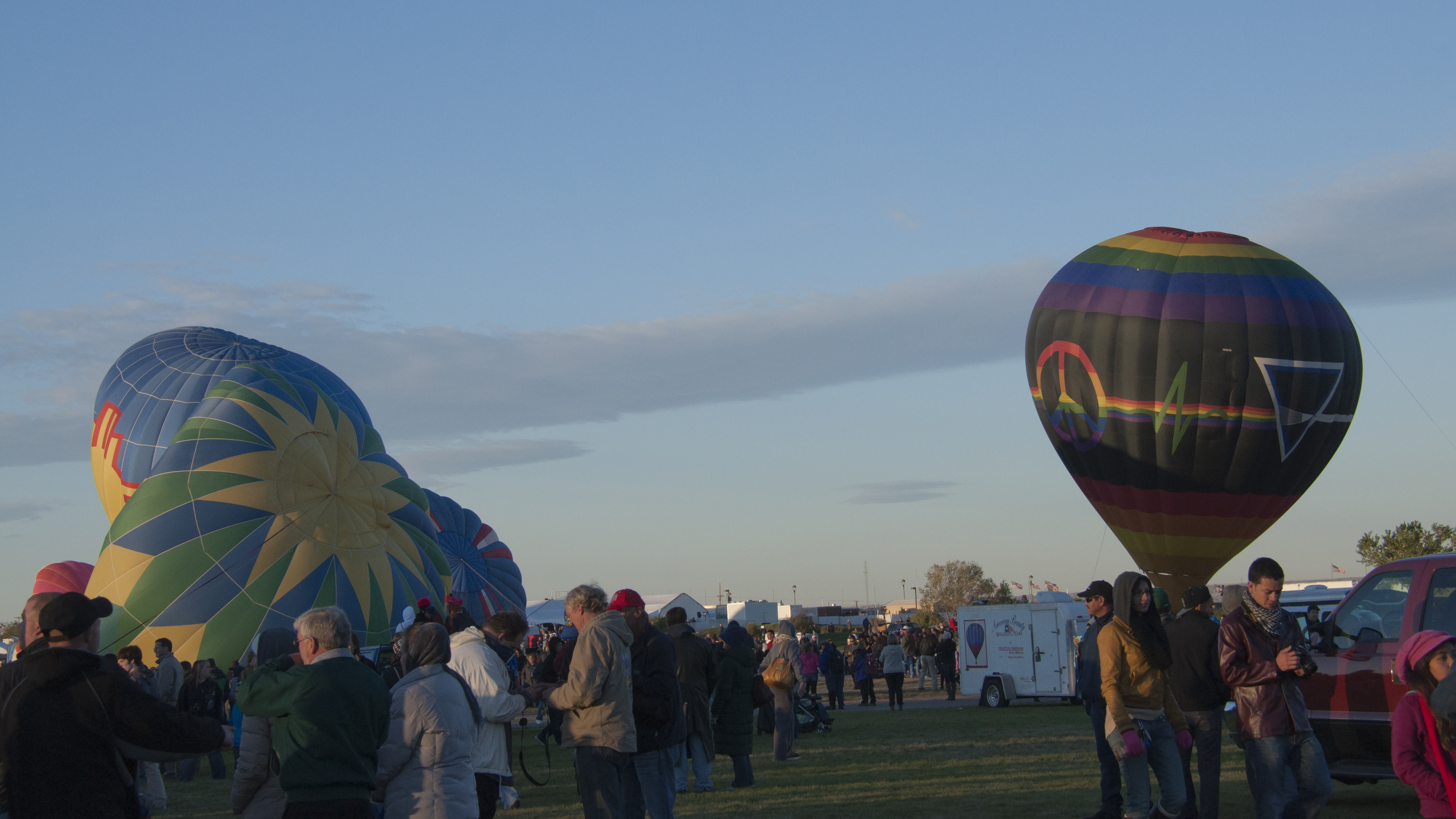
1-     I want an adventure.  Something I’ve never done before.  2012 saw two, flying in a hot air balloon, and flying in a sailplane.  Don’t know what this new adventure will be, just know that I want one!

By New Year’s 2014 – Well, I don’t know if anything in 2013 qualifies as a special adventure comparing to ballooning or soaring in a sailplane.  Guess I’ll have to keep working on this one.

2-    Just recently we’ve eaten a couple of meals that place first and second on my all-time favorites.  One was Emeril’s recipe for Shrimp and Grits, which we made with fresh caught Gulf Shrimp.  The other was our own recipe for Cajun style baked oysters.  Don’t know which one places first and which one second, it may be a tie, but at some point in 2013 I want to make and eat a meal that pushes them to second and third place!

By New Year’s 2014 – Finding the Atlantic Snow Crab processing plant in Nova Scotia definitely qualifies!  Buying crab right from the factory, bringing it home, making a salad, popping open a beer, and sitting outdoors dipping crab meat into a half dozen different cocktail sauces…  Ahh, Life Is Good!  And, this meal did double duty!  Putting all the shells in a pot and cooking them down made a great stock for a fish chowder!  (Or chowdah, as a certain sister-in-law might say)

3-    I want a “National Geographic Moment”.  I’ve experienced a few in my life, and Chari has had some.  One of mine was being so close to Northern Right Whales in the Bay of Fundy that when they spouted, I got wet.  Another was being on the fifty-yard line watching while two bull elk locked horns in Rocky Mountain National Park in Colorado.  Chari and I watched enthralled as the bats flew in their hundreds of thousands from Carlsbad Caverns in New Mexico and wound their way to the horizon in the twilight sky.  I’d like another “National Geographic Moment”.

By New Year’s 2014 – Let’s see…  would being up-close and personal with humpback whales in the Bay of Fundy qualify?  Umm…  YES!

4-    I want to experience a moment of pure wonder and serenity.  Once, I sat under a pine tree at the Grand Canyon, in the midst of winter, when the only other person in sight was my brother, who also sat under a pine tree about a quarter of a mile away, and watched while the canyon slowly changed colors as the evening sun sank into the western sky.  Another was sitting on the beach near the Cape Hatteras Lighthouse watching as the morning sun rose to my left, a thunderstorm raged to my right about a mile or so offshore, and a pod of porpoises played in front of me.  And watching a fantastic display of the Northern Lights while driving alone through the night across North Dakota was another.  I’d like to experience this feeling again.

By New Year’s 2014 – Driving along a coastal road in Nova Scotia, we turned off on a side road leading to a town called White Point.  It turned out to be a small fishing village, maybe a dozen homes and eight or ten fishing boats in the harbor.  At the far side of “town” was a path leading out onto a peninsula, about half open meadow, and half wooded.  The ocean waves swept the shores on both sides while seabirds soared overhead.  We walked passed a grave, marked “The Unknown Sailor”, and I told Chari that we found the place where she could scatter my ashes (hopefully not for another fifty years or so!) 

Also in Nova Scotia, near the town of Lunenburg, we kayaked in an area known as Blue Rocks.  Paddling through the calm waters, among rocks and islands covered with a golden colored seaweed was absolutely beautiful…  rivaling the Antelope Canyon paddle on Lake Powell as the prettiest paddle I’ve ever done.

5-    I’d like my life of wandering with Chari to go on forever.

By New Year’s 2014 – Still working on this one, and now we’ve got another year under our belts! 

Overall, I’d say that four out of five is pretty darn good, and as for having a great adventure?  Well, Life is an adventure, and we’re having one every day, so I guess that makes five out of five! 

What are my goals for 2014?  I can’t think of any from last year that I would change.  Let’s just list the same goals again!

Here’s Opal’s Top 5 For 2013

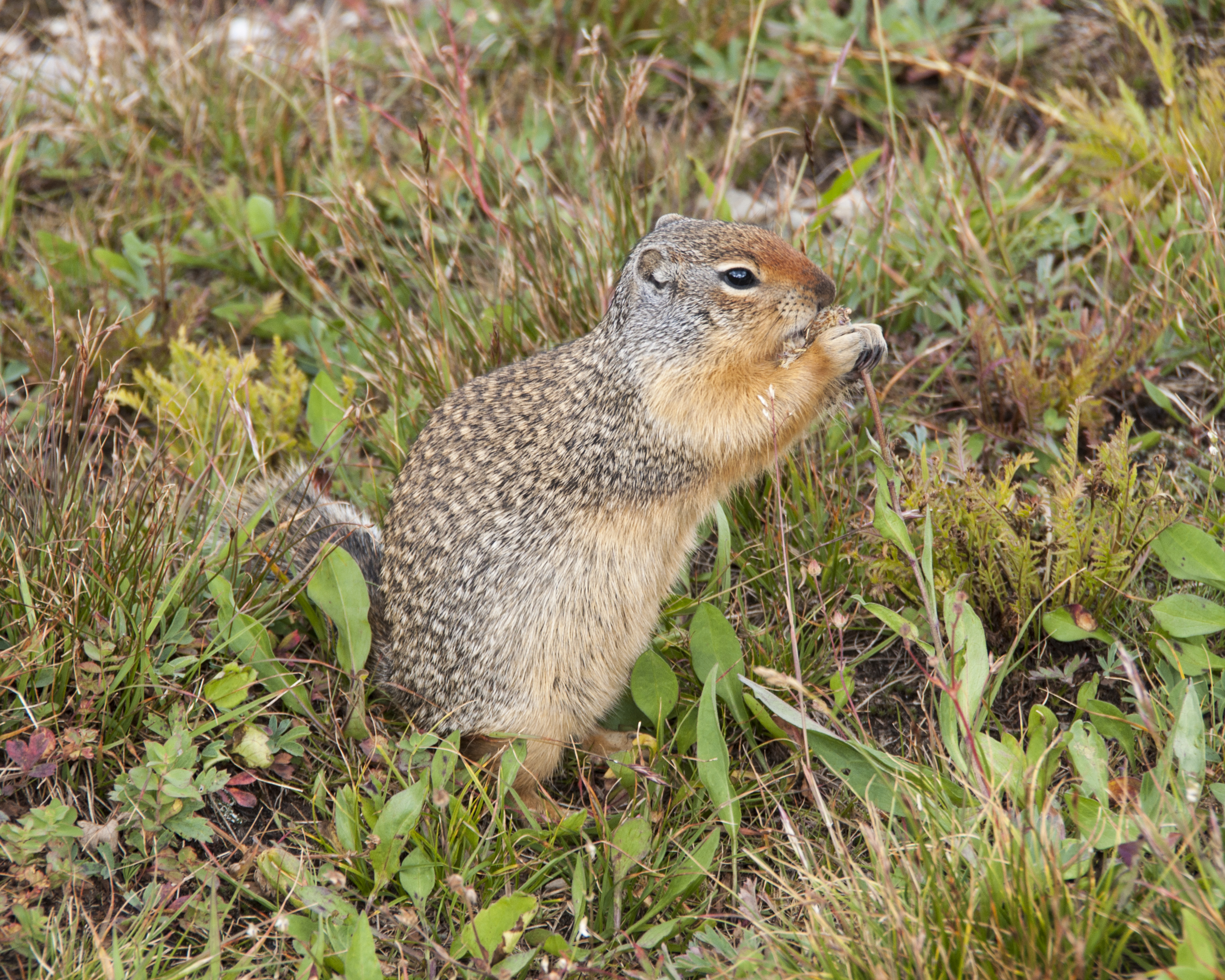
1-   I want to actually catch a squirrel.

By New Year’s 2014 – Still working on this one.  But, I’ve come close a couple of times.  For 2014, I’m going to add “catching a pelican”.  Either one will do!

2-  I want to run and roll in the sand on 10,000 more beaches.

By New Year’s 2014 – Only 8372 to go!

3-  I want Mom and Dad to take me everywhere and not leave me in the stinkin’ trailer.

By New Year’s 2014 – We’re not making any headway on this one.  What does it take to educate those people?  Guess I’ll still need to keep rolling my big brown eyes at them when they look like they’re going to leave me alone.

4-  I want “people food” with every meal.

By New Year’s 2014 – We’re doing good, but we’re not up to 100% yet.  We’ll keep this one on the list too.

5- Just once, I want to be left alone after I’ve fallen asleep for the evening instead of getting woke up to go out and pee. 

By New Year’s 2014 – They actually did it!  Once.  Let’s shoot for two times in 2014.

Happy 500th Birthday Florida!

Happy Birthday, Florida!

Happy Birthday, Florida!

It is April 2, 1513 and a Spanish galleon lies just off the coast of a new land. A smaller boat brings a landing party ashore. The first Spaniard, Don Juan Ponce de Leon, will step foot on what soon will be called the Treasure Coast.  He claims this new land for Spain and names it La Florida, land of flowers. Although others have come to America’s shores this is the first time anyone has made a claim in the name of a country. La Florida covers most of the North American continent. Over the next three centuries Spanish, French, British, Confederate and USA flags will fly and lay their claims.

Five centuries later millions of people inhabit the state of Florida. For the next three months we will be Floridians. Since this is the 500 year anniversary, it seems only right that we begin our first snowbird winter in North America’s oldest, continuously inhabited city, St. Augustine. We will spend the next eight days at Anastasia State Park. The park is located on Anastasia Island just across Matanzas Bay via the beautiful Bridge of Lions and Route A1A.

Google Earth, Florida, St. Augustine

Google Earth Map of St. Augustine and Area

St. Augustine was not, however, Spain’s first attempt to colonize La Florida. There had been six previous attempts. The French were successful in establishing a fort, Fort Caroline, approximately 50 miles north near what is now Jacksonville in 1564. With the French threatening his Treasure Fleet as it sailed La Florida’s east coast on the way back to Spain, the king appointed Don Pedro Menendez de Aviles, Spain’s most experienced admiral, as governor. His mission was to explore and settle the New World. He arrived on August 28, the Feast Day of St. Augustine, thus naming the new settlement after the patron saint. He occupied the indian village of Seloy and even claimed the council house to billet his officers.  A larger, better equipped French Navy would have dominated the Menendez forces had they not been caught in a hurricane. The French survivors attempted to march back to Fort Caroline but were stopped by the Spanish forces and executed. With that defeat French control of La Florida ended. Today the bay is still called Mantanzas Bay, meaning slaughter.

Matanzas Bay Panorama

Matanzas Bay Panorama

Ponce de Leon never mentioned a Fountain of Youth. There were statements that this might exist in other governmental documents. Legend suggests that the advanced age (80-90) of many Timicua people when the European average lifespan was less than 40 may have been the source. Others believe Ponce de Leon was searching for an aphrodisiac for the King who in his later years married a very young woman.

_DSC0071

A wooden fort, Castillo de San Marcos, was built to defend the settlement. St. Augustine defended herself not only against other nations but against pirates such as Sir Francis Drake who raided and burned the city in 1586. The town was rebuilt. Almost a century later, privateer Robert Searles would raid the town in 1668. In 1670 the British established Charles Town (now Charleston) and raised another threat to Spanish territory.  A new stone fort made from local coquina stone took most of two decades to build and was completed in 1695. In 1702 the British attacked St. Augustine. Unable to subdue the Castillo San Marcos they burned the town to the ground. There is no building in St. Augustine that predates 1702.

National Monument, NPS, national parks, Florida

Castillo de San Marcos

By the time of the American Revolution, St. Augustine was in the hands of the British and became a haven for loyalists. Three signers of the Declaration of Independence, Arthur Middleton, Edward Rutledge and Thomas Heyward, Jr., were placed under house arrest in the city. Other prisoners did not fair so well being housed in the Castillo now known as Fort St. Marks. Florida was returned to the Spanish in 1784 as compensation for having aided the patriots.

The native Timicuan (pronounced Tim – i (short i) – quan) people had lived in northern Florida for over 4,000 years. Within 250 years they would all but vanish and the few survivors would be absorbed along with Creek, Yamasee, Oconee and runaway slaves to form the Seminole nation. The word Seminole is a corruption of the Spanish word cimarrones, meaning untamed or wild ones. During the War of 1812 the Seminole sided with the British. The First Seminole War, 1817-1818, occurred when the United States invaded Spanish held Florida. After destroying Seminole villages, Andrew Jackson went on to attack Spanish settlements. In a 1819 treaty negotiated by John Quincy Adams, then Secretary of State, and Spain’s Minister, Luis de Onis, Florida   became American territory. Between 1835-1842 in response to the Indian Removal Act, the Second Seminole War erupted. This stands as the bloodiest Indian war in American history. Florida’s admission as a state was delayed because it wanted to enter as a slave state. It finally did enter as a slave state in 1845 when Iowa entered as a free state.

Many of the first families to settle in the area came from the Aviles area of Spain. Later immigrants came from the Canary Islands and the Cracker families arrived with their cattle herds. While St. Augustine is an interesting place to visit at any time of year, the weeks between Thanksgiving and Christmas bring out a special beauty when the city dons festival lights. The tree at the Visitors Center is decorated with pictures and family names of the founding families.

So join us as we wander through St. Augustine by day and night.

First Families of St. Augustine

First Families of St. Augustine

The Highs And Lows At Hopewell Rocks

Hopewell Rocks Header

(Chari) The first time I heard about the Bay of Fundy was when I was ten years old and read about it in National Geographic. I guess I started my Bucket List then. I wanted to see these almost fifty foot tides for myself.

In 2004 I finally traveled to New Brunswick, PEI and Nova Scotia for the first time. I not only saw the tides but kayaked for the first time at age 57. Who says you can’t teach an old dog new tricks? (Opal here… Don’t get any ideas, Mom!) When I learned that you could kayak at Hopewell Rocks so you could be in both the highest and lowest tides in the same day I knew I had to return to do it. One item off the Bucket List and another one on the list. So that’s why my list never gets any shorter?

(Steve) My first trip to Nova Scotia was in 1997. I saw the tides from the Nova Scotia side and never went to New Brunswick. When Chari told me about Hopewell Rocks, I also put it on my Bucket List.

One of the first things we did at Fundy was to check the tide tables. If possible we wanted to kayak and walk on the ocean floor the same day. The weekend in the middle of our visit would be perfect. We called Baymount Outdoor Adventures to schedule for Saturday. Don’t worry if you visit when the tides aren’t available during daylight hours in the same day. Your ticket to the park is good for two days.

On Friday afternoon we received a call that high winds were predicted and the Saturday trip was cancelled. We rescheduled for Sunday morning. A twenty minute walk is required to reach the outfitter so it wasn’t feasible to use our own boats. We used their tandem kayaks. We’d be on the water an hour before the highest tide and return at maximum tide. A change of over 8 feet in an hour. The day we paddled the total tide change was 46 feet. When you watch the video we put together take special note of where the water is at the viewing platform while we were kayaking and again when we walked on the ocean floor later.

We had 3 hours between returning to shore and when access to the beach opened. During that time we had a picnic lunch and took a hike.

This trip was a highlight in our time in the Maritimes and contributed to 2013 being the best summer we ever had.

Enjoy the show! Popcorn sold separately.

Amazing Scenery At Fundy National Park

Fundy blog header 2

We left Campobello Island by 9AM to allow time for two border crossings. The first one at Lubec, Maine took about 15 minutes as they decided to search the trailer. We had to pull off the road and open the slides so the agent could look around. We learned that citrus fruits are not allowed to come into the USA. Steve wondered why. Where do they grow oranges in Canada? I replied (be prepared it’s a Chari joke ahead), “That’s how they make frozen orange juice!” The agent told us when we come back from Canada this Fall to make sure we do not bring any fresh vegetables or fruits with us. He said the US agents are very strict about this. He went on to tell us that even if something is purchased in the USA and taken into Canada the product then is considered to be Canadian. We drove on down ME 189 to US 1 north to the Calais/St. Stephens crossing. We entered Canada after showing our passports, Opal’s papers and answering a few questions. The trip continued for the next 4 hours along Canada 1to NB 114 and on into Fundy National Park. Canadian National Parks charge a daily entrance fee. Since we’d be here for two months it was a no brainer to buy the yearly Discovery Pass that gives you free entry into any park or historical site with an admission charge. There was a senior discount of $10 for each of us. The break-even point for buying the pass is staying at a national park for seven days and or visiting seven sites. We are staying at the only campground in the park that offers RV hookups. That is Chignecto campground. Our site is a very private and wooded site with water and electric (30 amp). There are a few full hookup sites in the park. After setting up we just relaxed and enjoyed a warm but comfortable evening.

The next day we spent time at the Visitors Center, bought our hat pins and picked-up a free Canadian Parks Passport Book for the Maritime Region. There is a different book for each region.  Needing our mail forwarded to Canada means a bit more planning than usual as we need to allow time for it to pass through Customs. We’ll use UPS next day delivery and allow a day or two extra just to be sure it will arrive before we leave.  The Park Visitors Centre at Fundy will accept mail. We also registered for a photo safari with the leading park photographer, Brian Townsend, for the following day.

Not being sure how my ankle would deal with a hike we opted to do a short, easy walk to the Wolfe’s Point Covered Bridge. The tide was at its low point then and the bay was empty. We plan to return for a sunset photo and higher tide if timing cooperates. The covered bridge was built in 1992 using traditional techniques creating a lovely spot. Then we made a trip into Alma, the only town nearby to check on times for a coastal kayak trip. With a few hours left we took advantage of the “heated” saltwater pool in the park. Fundy NP offers as much nature and solitude as you want or the more modern resort amenities of a swimming pool and golf course. The scenery is exquisite wherever you go here.

July 17th dawned a postcard day with brilliant blue skies. It was a made to order day for our fourth wedding anniversary. We’ve certainly packed a lot into four years! No time to waste, we needed to be at the workshop by 9am. The photo safari was attended by seven people and ran about four hours in length. Unlike most of his groups this one was composed of serious amateurs with digital SLR cameras. The first half was spent on camera basics. Regardless of how long you’ve been photographing a review of basics can always teach you something. This was no exception. Brian Townsend has been living in Alma and photographing the area for over thirty years. He took us to three locations in the area where we practiced framing a shot and picking appropriate foreground elements.

Bay of Fundy

Fundy Mud Flats At Low Tide

Fundy In Black And White

Fundy In Black And White

When the workshop ended it was lunchtime.  We asked Brian for suggestions on where to find a good lobster roll and chose one. That was our “anniversary dinner”. After tending to Opal we headed out on a scenic drive along NB 915 to find Mary’s Point Shorebird Reserve. Along the way we stopped at Cape Enrage for some evening photos. We had some difficulty finding St. Mary’s Point and when we did there wasn’t a bird to be found.  This is the major stop for Sandpiper migration, which usually peaks the last week in July through the first week of August. We knew we were a bit premature but hoped there would be some early arrivals. Later in the week we did see some small flocks at Hopewell Rocks. They stop here to feed on mud shrimp and gain weight. Then they fly non-stop to South America. With no birds around Opal was able to have off leash beach time.

Cape Enrage, New Brunswick

Cape Enrage On Fundy Scenic Drive

Sign At Mary's Point

Sign At Mary’s Point

Mostly we drove backroads as my ankle persisted in being painful and swelling. In fact it would take almost three months before it was healed. I’m still thankful I didn’t break it. On a drive to Sussex, about 40 miles away, we could have taken major roads but … we didn’t. We turned off on a dirt road that made the trip longer but a lot more interesting. We found a remote campsite that would be great but there’s no way we’d bring the trailer down this road. At one point in our exploration we turned to follow a sign saying covered bridge. We never did see another sign or a bridge and gave up when the “road” began to look like an ATV trail. Some places had been clear cut and were rather ugly while others were in bloom and beautiful. We came upon an old church with a graveyard listing the original settlers in the area. In Sussex we  stopped at the Visitors Center to ask about some covered bridges in the area. This town is known for murals on buildings but we didn’t have time for the tour. Is this where we say “when we come back”…?

Old Church On A Dirt Road

Old Church On A Dirt Road

New Brunswick

Along The Road To Sussex

Beauty On A Dirt Road

Beauty On A Dirt Road

Covered Bridge In Sussex

Covered Bridge In Sussex

Even on the road there is the “to do” list of laundry, grocery shopping and cleaning house so a few days were spent on chores too. The evenings were mild and bug free so we enjoyed sitting outside with a campfire. With wooded sites we don’t get TV reception on our satellite but fortunately we do have a lot of prerecorded shows to watch. Our mail came through to the Visitors Center just fine so we had a few Netflix to watch as well. The park WiFi is slow, available only at the camp office and you are limited to about 15 minutes every 24 hours. We shouldn’t complain, as it is free. We did find a better WiFi at the local pizza place in Alma. While many RVers don’t consider Canada “foreign travel” navigating the where to find this or that, different currency (i.e. coins for $1 and $2, no pennies etc.) and getting mail through customs quickly is a learning curve. So far, so good.  Our next post will be about doing one of our Bucket List items.

Catching Up #2 – Tough As Nails

Saugus Ironworks NHS, history

A Scale model Of Saugus Ironworks

Saugus ironworks 2

Saugus Ironworks Waterwheels

Ahhhh, finally good internet as we drive along I-91 from Vermont toward Camden, Maine. Hopefully we’ll be able to catch up a bit. This is one drive where even the interstate is scenic. Now we enter the time warp and “Beam us back to Massachusetts.”

There are so many historical sites in the Boston area we knew we’d be able to see only a handful during the first trip here. Some stops were planned while others were because of convenience or location. On one overcast day we stopped at the Saugus Ironworks National Historic Site. We’d never heard about it until we started trying to see all of the National Park sites as part of our Bucket List. This is a small but very interesting place. Do take time to go on the Ranger led tours to get the most out of your time there. We did 2 short tours, one of the Ironworks and one of the home called Broadhearth, built later on the property. The significance of this site is that it was the first ironwork established in the colonies.  The buildings you see here are reconstructions built on the original foundations.

Recognizing New England’s great fishing and timber resources the colonists knew their financial future lay in the processing and export of these materials. Salt pans to evaporate sea water for salt to process fish and tools for cutting, sawing and finishing timber were needed as were tools for building and home goods. Where on the east coast does one find iron? They found it in the bogs and ponds throughout the area. Governor of the Massachusetts Bay Colony, John Winthrop, was very supportive of developing an ironworks. His son went to England to locate investors. The odd named company of the Undertakers of the Ironworks was formed. Saugus Ironworks began operation in 1646. The foundry fabricated cast iron pots, salt pans and firebacks and wrought iron merchant bars, tools and nails.

mining, history, Massachusetts

Mining Bog Iron By Boat

Collecting Bog Iron

Collecting Bog Iron

Located along a river water power operated the huge bellows for the smelting furnace. Using bog iron ore and a local rock from Nahant known as gabbro for flux the furnace turned out molten iron that was cooled in sand pits. The sand troughs were long with shorter sections running perpendicularly. Since this looked like a sow feeding piglets it became known as “pig iron”.  Sand forms or pottery casts were used to make the final product hence the name cast iron. Cast iron was quite brittle. For tools, nails and merchant bars used for shaping other items the cast iron was hammered into stronger wrought iron. During our tour the Ranger told us that only seven firebacks known to be made at Saugus still existed. two years ago someone had found one in their basement and had donated it to them. Firebacks were decorative plates incorporated into brickwork at the back of a fireplace. They absorbed heat and radiated it outwards into the room. Makes you wonder what other treasures are buried in attics and basements across the country?

iron, NHS, Saugus Ironworks

Huge Bellows Were Run By Water Power

Pig Iron Furnace And Tools

Pig Iron Furnace And Tools

iron manufacture, history, Massachusetts

Drawing Of Hammer In Use

Nail Stripes Await Cutting and Hammering

Nail Stripes Await Cutting and Hammering

ironworks, Saugus, National Historic Site

Ironworks In Operation

fireback, history, Saugus

Rare Example Of Fireback Produced At Saugus Ironworks

The museum located next to the Visitors Center had many interesting exhibits from archeological digs in the region to history of the many nationalities that worked at the ironworks. One of the largest groups were 150 Scot prisoners sent here as indentured servants to work as woodcutters in 1650. They had been taken prisoner by Cromwell’s armies at the Battle of Dunbar and sold to members of the Undertakers Company. We know that most made the transition from a rural lifestyle in Scotland to a new industry and country. At least five learned skilled trades and their families formed the core of American industrial workers.

The house, named Broadhea rth, had fallen into severe disrepair by the early 1900s. This seems to be a time when wealthy Americans were beginning to assist with restoration of historical places. Who should step forward to assist here but the daughter of E. I. DuPont, Louise du Pont  Kroninshield. Not only was she the daughter of one of America’s richest men (please see our post on Winterthur) but she married into one of the Brahmin families of the Boston area. You will hear more about the Kroninshields when we post about Salem and their maritime history. We are constantly surprised as we move from place to place to see connections like this occur. Louise du Pont Kroninshield teamed with Nutting for this restoration.

colonial homes, history, Saugus Ironworks NHS

Broadhearth After Nutting’s Restoration Early 1900s

Even though it was an overcast day the boat house and bog iron boat gave me one of my favorite photos. I took the original and processed it in various post processing techniques for HDR, oil paint and watercolor. I have my favorite. What is yours?

Original Photo

Original Photo

HDR For Single Exposure

HDR For Single Exposure

HDR Plus Oil Paint Processing

HDR Plus Oil Paint Processing

Above Photo Converted To Black & White

Above Photo Converted To Black & White

Saugus Scene Using Watercolor From Topaz Simplify 3

Saugus Scene Using Watercolor From Topaz Simplify 3

Saugus Scene In Colored Pencil Sketch Using Topaz Simplify 3

Saugus Scene In Colored Pencil Sketch Using Topaz Simplify 3